Mount Bushnell
| Mount Bushnell | ||
|---|---|---|
|
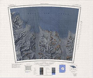
Topographic map sheet with Mt Bushnell on the eastern edge |
||
| height | 840 m | |
| location | Marie-Byrd-Land , West Antarctica (politically: Ross Dependency ) | |
| Mountains | Tapley Mountains , Queen Maud Mountains | |
| Coordinates | 85 ° 36 ′ 0 ″ S , 150 ° 48 ′ 0 ″ W | |
|
|
||
Mount Bushnell is a 840 m high mountain in the northwest of the Antarctic mountain range Tapley Mountains between Mount Durham and Pincer Point in Queen Maud Mountains .
The first approximate mapping was carried out by the Byrd Antarctic Expedition from 1928 to 1930. A new mapping was carried out by the US Geological Survey (USGS) in the years 1960 to 1964. It was named in 1967 by the Advisory Committee on Antarctic Names (US-ACAN) in honor of Vivian C. Bushnell (1910–1994), editor of the American Geographical Society's Antarctic map series .
Individual evidence
- ↑ Mount Bushnell ( English ) In: Geographic Names Information System . United States Geological Survey . Retrieved January 2, 2016.

