Mukut Parbat
| Mukut Parbat I. | ||
|---|---|---|
| height | 7242 m | |
| location | Uttarakhand ( India ) | |
| Mountains | Kamet Group ( Garhwal Himalayas ) | |
| Dominance | 3.75 km → Abi Gamin | |
| Notch height | 683 m | |
| Coordinates | 30 ° 56 '58 " N , 79 ° 34' 11" E | |
|
|
||
| First ascent | July 11, 1951 by Harold Earle Riddiford , Ed Cotter and Pasang Dawa Lama . | |
| Normal way | glaciated alpine tour | |
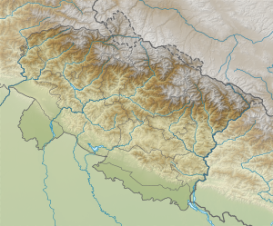
The Mukut Parbat (also Mukut Parvat ) is a mountain in the Garhwal Himalayas in the Indian state of Uttarakhand on the border with China .
location
The Mukut Parbat is located in the Nanda Devi National Park . He belongs to the Kamet group . The mountain range has a west and an east summit. The higher western peak, Mukut Parbat I , has a height of 7242 m . The lower eastern peak, Mukut Parbat II ( ⊙ ), reaches a height of 7120 m .
Ascent history
The first ascent was made by a New Zealand team with Edmund Hillary , George Lowe , Harold Earle Riddiford and Ed Cotter . Riddiford, Cotter and the Sherpa Pasang Dawa Lama reached the summit on July 11, 1955. Hillary and Lowe, who originally went up together in a second rope team, decided to turn around just below the summit.
Web links
- Mukut Parbat on Peakbagger.com (English)
- Photo at caingram.info
Individual evidence
- ^ A b Edmund Hillary : View From The Summit . Random House, 2011.
