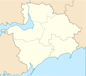
Novopoltawka (Chernihivka)
| Novopoltawka | ||
| Новополтавка | ||

|
|
|
| Basic data | ||
|---|---|---|
| Oblast : | Zaporizhia Oblast | |
| Rajon : | Chernihivka district | |
| Height : | 202 m | |
| Area : | 30 km² | |
| Residents : | 1,461 (2004) | |
| Population density : | 49 inhabitants per km² | |
| Postcodes : | 71214 | |
| Area code : | +380 6140 | |
| Geographic location : | 47 ° 16 ' N , 36 ° 17' E | |
| KOATUU : | 2325584601 | |
| Administrative structure : | 2 villages | |
| Address: | вул. Центральна 38 and 71214 с. Новополтавка |
|
| Statistical information | ||
|
|
||
Novopoltawka ( Ukrainian and Russian Новополтавка ) is a village in the center of the Ukrainian Oblast of Zaporizhia with about 1400 inhabitants (2004).
The village, founded in 1862, is located on the banks of the 21 km long Kajinkulak ( Каїнкулак ), which belongs to the Molochna river system , and on the T-08-21 territorial road . Novopoltawka is the administrative center of a district municipality in the north of the Chernihivka district and is located 120 km southeast of the Zaporizhia Oblast center and 12 km northeast of the Chernihivka district center . The village Zorya ( Зоря ⊙ ) with about 320 inhabitants also belongs to the district council .
Individual evidence
- ↑ The village's website on the Verkhovna Rada website , accessed on June 15, 2015

