O'Brien Peak
| O'Brien Peak | ||
|---|---|---|
| height | 670 m | |
| location | Marie-Byrd-Land , West Antarctica (politically: Ross Dependency ) | |
| Mountains | Transantarctic Mountains | |
| Coordinates | 85 ° 28 ′ 0 ″ S , 156 ° 42 ′ 0 ″ W | |
|
|
||
|
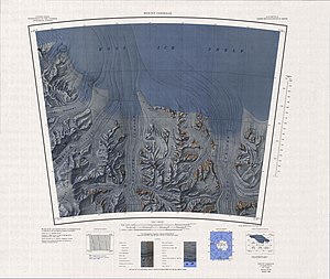
Map sheet Mount Goodale from 1966 with the Amundsen coast , O'Brien Peak just east of the center of the map |
||
The O'Brien Peak is a 670 m high and rocky mountain peak on the Amundsen coast of the west Antarctic Marie-Byrd-Land . It rises about 5 km west of the northern foothills of the Medina Peaks on the southern edge of the Ross Ice Shelf .
The team around the geologist Laurence McKinley Gould (1896-1995) discovered him in December 1929 on the first Antarctic expedition (1928-1930) of the American polar explorer Richard Evelyn Byrd . Byrd named him after John Sherman O'Brien (1897-1938), a geodesist of the said team.
Web links
- O'Brien Peak in the Geographic Names Information System of the United States Geological Survey (English)
- O'Brien Peak on geographic.org (English)
Individual evidence
- ^ John Stewart: Antarctica - An Encyclopedia . Vol. 2, McFarland & Co., Jefferson and London 2011, ISBN 978-0-7864-3590-6 , pp. 1131 and 1132 (English).

