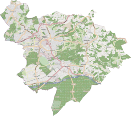
Oberheide (Bergisch Gladbach)
|
Oberheide
City of Bergisch Gladbach
Coordinates: 50 ° 59 ′ 15 ″ N , 7 ° 12 ′ 21 ″ E
|
||
|---|---|---|
|
Location of Oberheide in Bergisch Gladbach |
||
|
Oberheide street view
|
||
Oberheide is a district in the Asselborn district of Bergisch Gladbach .
history
The name Oberheide refers to the early modern settlement Heide , whose courtyards were subordinate to the court court of the Herkenrather Fronhof. As far as the word heather appears in connection with a place name in the region , these settlement names are derived from the location on the Bergisch heather sand strip. Around 1800 the determinant was supplemented with "upper" and "lower" to distinguish it. The Herkenrath church bank regulation of 1630 ( "order of the church benches dahier zo Herkenrath" ) only mentions the general term guiter zur Heyden . The original cadastre already distinguishes between Oberstheide and Unterstheide .
Individual evidence
- ^ Andree Schulte: Bergisch Gladbach City History in Street Names , published by the Bergisch Gladbach City Archives, Volume 3, and by the Bergisch Geschichtsverein department Rhein-Berg e. V., Volume 11, Bergisch Gladbach 1995, p. 214, ISBN 3-9804448-0-5

