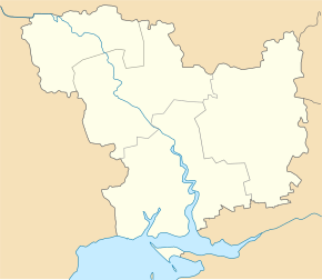
Oleksandriwka (Snihuriwka)
| Oleksandrivka | ||
| Олександрівка | ||

|
|
|
| Basic data | ||
|---|---|---|
| Oblast : | Mykolaiv Oblast | |
| Rajon : | Snihurivka district | |
| Height : | 34 m | |
| Area : | Information is missing | |
| Residents : | 1,336 (2004) | |
| Postcodes : | 57375 | |
| Area code : | +380 5162 | |
| Geographic location : | 46 ° 50 ' N , 32 ° 46' E | |
| KOATUU : | 4825780401 | |
| Administrative structure : | 2 villages | |
| Address: | вул. Радянська 57375 с. Олександрівка |
|
| Statistical information | ||
|
|
||
Oleksandriwka ( Ukrainian Олександрівка ; Russian Александровка Alexandrowka ) is a village in the southeast of the Ukrainian Oblast Mykolaiv with about 1,300 inhabitants (2004).
The village, founded in 1812, is the center of the district council of the same name in the south of Snihuriwka Raion on the border with Kherson Oblast , to which the village of Mychajlivka ( Михайлівка ) with about 170 inhabitants belongs.
Oleksandriwka is located on the lower reaches of the Inhulez, 37 km south of the Rajon center Snihuriwka and about 80 km southwest of the Oblast center Mykolaiv . At the village leading territorial road T-15-05 over.
Individual evidence
- ↑ Oleksandrivka on the official website of the Verkhovna Rada ; accessed on April 19, 2015 (Ukrainian)

