Orljanske
| Orljanske | ||
| Орлянське | ||

|
|
|
| Basic data | ||
|---|---|---|
| Oblast : | Zaporizhia Oblast | |
| Rajon : | Vasylivka district | |
| Height : | 82 m | |
| Area : | 94.043 km² | |
| Residents : | 2,974 (2004) | |
| Population density : | 32 inhabitants per km² | |
| Postcodes : | 71660 | |
| Area code : | +380 6175 | |
| Geographic location : | 47 ° 20 ' N , 35 ° 6' E | |
| KOATUU : | 2320984401 | |
| Administrative structure : | 5 villages | |
| Address: | вул. Леніна 150 71 660 с. Орлянське |
|
| Statistical information | ||
|
|
||
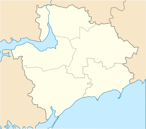
Orljanske ( Ukrainian Орлянське ; Russian Орлянское Orljanskoje ) is a village in the Ukrainian Oblast of Zaporizhia with about 3000 inhabitants (2004).
The village, founded in 1800, is the administrative center of the eponymous, 144.353 km² district council in the south of Vasylivka district , to which the villages Jasna Polyana ( Ясна Поляна ⊙ ) with about 90 inhabitants, Widnoschyne ( Відножине ⊙ ) with about 560 inhabitants, Topolyne ( Тополине ⊙ ) with about 650 inhabitants and Ulyanivka ( Улянівка ⊙ ) with about 110 inhabitants.
The municipality is located on the regional road P-37 between the city of Dniprorudne 12 km in the north-west and the Rajon center Vasylivka 24 km in the north-east.
Individual evidence
- ^ Website of the village on the website of the Verkhovna Rada ; accessed on August 21, 2017 (Ukrainian)

