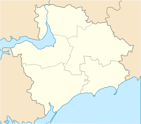
Dniprorudne
| Dniprorudne | ||
| Дніпрорудне | ||

|
|
|
| Basic data | ||
|---|---|---|
| Oblast : | Zaporizhia Oblast | |
| Rajon : | Vasylivka district | |
| Height : | 86 m | |
| Area : | 7.43 km² | |
| Residents : | 19,051 (2016) | |
| Population density : | 2,564 inhabitants per km² | |
| Postcodes : | 71630 | |
| Area code : | +380 6175 | |
| Geographic location : | 47 ° 23 ' N , 35 ° 0' E | |
| KOATUU : | 2320910400 | |
| Administrative structure : | 1 city | |
| Mayor : | Yevhen Serhioiwytsch Matvejew | |
| Address: | пр. Ентузіастів 11 71 630 м. Дніпрорудне |
|
| Website : | http://www.dneprorudnoe.info/ | |
| Statistical information | ||
|
|
||
Dniprorudne ( Ukrainian Дніпрорудне ; Russian Днепрорудное Dneprorudnoje ) is a small town in the Zaporizhia Oblast in southern central Ukraine with 19,100 inhabitants (2016). It is located about 54 kilometers south of Zaporizhia on the banks of the Dnieper , which is dammed up to form the Kachowka reservoir .
history
The place was founded in 1961 as a housing estate ( urban-type settlement ) for the housing of workers for the exploitation of the iron ore deposits in the area of Mala Biloserka and was called Dniprohrad (Ukrainian Дніпроград ) until 1964 . The mining of the deposits began in 1967 and around 4 million tons of iron ore have been mined to this day. In 1970 the Dnieper Rudne received city status.
Population development
| 1970 | 1979 | 1989 | 2001 | 2005 | 2016 |
|---|---|---|---|---|---|
| 12,068 | 16,997 | 22,773 | 21,054 | 20,301 | 19.051 |
Source:
Web links
Commons : Dniprorudne - collection of pictures, videos and audio files
Individual evidence
- ↑ a b Demography of Ukrainian cities on pop-stat.mashke.org


