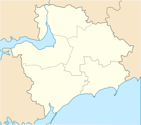
Molochansk
| Molochansk | ||
| Молочанськ | ||

|
|
|
| Basic data | ||
|---|---|---|
| Oblast : | Zaporizhia Oblast | |
| Rajon : | Tokmak district | |
| Height : | 32 m | |
| Area : | 90 km² | |
| Residents : | 6,711 (2016) | |
| Population density : | 75 inhabitants per km² | |
| Postcodes : | 71717 | |
| Area code : | +380 6178 | |
| Geographic location : | 47 ° 12 ' N , 35 ° 36' E | |
| KOATUU : | 2325210100 | |
| Administrative structure : | 1 city | |
| Address: | вул. Тельмана 9 71716 м. Молочанськ |
|
| Statistical information | ||
|
|
||
Molotschansk ( Ukrainian Молочанськ ; Russian Молочанск , formerly German Halbstadt ) is a small town in the Zaporizhia Oblast in south-central Ukraine on the Molochna River , about 78 kilometers southeast of Zaporizhia, southwest of the city of Tokmak .
history
The place with today 6,700 inhabitants (2016) was founded in 1804 by Mennonites who came from West Prussia in the course of extensive land occupation and called by them Halbstadt . The Mennonite settlement Molotschna comprised 56 other villages in the south and west of the village until it was dissolved. In 1928 the place was renamed in the Russian-sounding name Molotschansk. During the German occupation in World War II , Molotschansk was again called Halbstadt and was the capital of the Halbstadt district within the Reichskommissariat Ukraine . The German population was evacuated to Warthegau in 1943 and expelled at the latest when the area was reconquered by the Red Army and forcibly resettled to Siberia , Kazakhstan (area of Karagandy ) and Kyrgyzstan .
Population development
| 1939 | 1959 | 1970 | 1979 | 1989 | 2001 | 2005 | 2016 |
|---|---|---|---|---|---|---|---|
| 11,800 | 10,771 | 10.207 | 10,082 | 9.096 | 7,964 | 7,624 | 6.711 |
Source:
sons and daughters of the town
- William Neufeld (1901–1992), American javelin thrower of German Russian origin
- Ingrid Rimland (1936–2017), author and Holocaust denier
Web links
- City history from a Soviet perspective (Ukrainian)
Individual evidence
- ↑ a b Demography of Ukrainian cities on pop-stat.mashke.org

