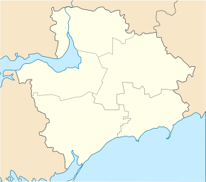
Mychajliwka
| Mychajliwka | ||
| Михайлівка | ||

|
|
|
| Basic data | ||
|---|---|---|
| Oblast : | Zaporizhia Oblast | |
| Rajon : | Mychajlivka district | |
| Height : | 87 m | |
| Area : | 33.33 km² | |
| Residents : | 13,671 (2004) | |
| Population density : | 410 inhabitants per km² | |
| Postcodes : | 72007 | |
| Area code : | +380 6132 | |
| Geographic location : | 47 ° 16 ' N , 35 ° 13' E | |
| KOATUU : | 2323355100 | |
| Administrative structure : | 1 urban-type settlement , 5 villages | |
| Mayor : | Olexandr Raksha | |
| Address: | вул. Леніна 22 72002 смт. Михайлівка |
|
| Statistical information | ||
|
|
||
Mychajliwka (Ukrainian Михайлівка ; Russian Михайловка / Michailowka ) is an urban-type settlement in the Zaporizhia Oblast in south-central Ukraine . It is the administrative center of the Mychajlivka district and is located south of the Kachowka reservoir . The distance to the Zaporizhia Oblast Center is 77 kilometers.
The place was mentioned for the first time in 1810 and has had the status of an urban-type settlement since 1965.
The settlement council community next Mychajliwka are still villages Wowkiwka (Вовківка) Schowtnewe (Жовтневе) and Nowowolodymyriwka (Нововолодимирівка) Pershotravneve (Першотравневе) and Petriwka (Петрівка).
Web links
- Location information (Ukrainian)

