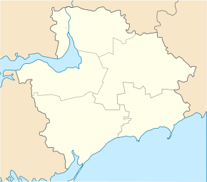
Malokaterynivka
| Malokaterynivka | ||
| Малокатеринівка | ||

|
|
|
| Basic data | ||
|---|---|---|
| Oblast : | Zaporizhia Oblast | |
| Rajon : | Zaporizhia district | |
| Height : | 45 m | |
| Area : | 20.22 km² | |
| Residents : | 3,444 (2014) | |
| Population density : | 170 inhabitants per km² | |
| Postcodes : | 70454 | |
| Area code : | +380 61 | |
| Geographic location : | 47 ° 39 ' N , 35 ° 15' E | |
| KOATUU : | 2322155900 | |
| Administrative structure : | 1 urban-type settlement | |
| Address: | вул. Калініна 24 70454 смт. Малокатеринівка |
|
| Statistical information | ||
|
|
||
Malokateryniwka ( Ukrainian Малокатеринівка ; Russian Малокатериновка Malokaterinowka ) is an urban-type settlement in the Ukrainian Zaporizhia Oblast with 3400 inhabitants (2014).
Founded in 1775 as Krasnokutiwka ( Краснокутівка ) Malokateryniwka is the only village in the settlement council of the same name and received urban-type settlement status in 1938.
geography
Malokateryniwka is located at the mouth of the Kinska in the Dnepr , which is dammed up to the Kachowka reservoir , in Saporischschja Rajon, 29 km south of the center of the city of Zaporizhia . The village has a train station on a railway line on the Prydniprovska Salisnyzja .
Individual evidence
- ↑ Demographics of Ukrainian cities on pop-stat.mashke.org , accessed on February 18, 2015

