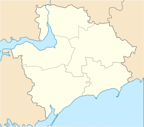
Vilniansk
| Vilniansk | ||
| Вільнянськ | ||

|
|
|
| Basic data | ||
|---|---|---|
| Oblast : | Zaporizhia Oblast | |
| Rajon : | Vilnyansk Raion | |
| Height : | 144-157 m | |
| Area : | 4.2 km² | |
| Residents : | 15,558 (2016) | |
| Population density : | 3,704 inhabitants per km² | |
| Postcodes : | 70000 | |
| Area code : | +380 6143 | |
| Geographic location : | 47 ° 56 ' N , 35 ° 26' E | |
| KOATUU : | 2321510100 | |
| Administrative structure : | 1 city , 1 settlement | |
| Address: | вул. Бочарова 4 70002 м. Вільнянськ |
|
| Statistical information | ||
|
|
||
Vilnjansk ( Ukrainian Вільнянськ ; Russian Вольнянск Wolnjansk ) is a Ukrainian city in the north of the Zaporizhia Oblast with 15,500 inhabitants (2016), about 22 km northeast of the Oblast capital Zaporizhia .
Vilnyansk is the administrative center of Raion Vilnyansk , the borough belongs nor the village Smorodyne (Ukrainian Смородине ) with 40 inhabitants.
history
Vilnyansk was founded in 1840 under the name Sofievka. The first renaming took place in 1935. The village got the name Krasnoarmijske (Красноармійське), in 1939 it was renamed correctly in Ukrainian Chervonoarmijske (Червоноармійське). In 1966 the village was raised to the status of a town and was given the current name of Vilnyansk.
The place was occupied by troops of the German Wehrmacht from October 6, 1941 to September 21, 1943 .
Population development
| 1979 | 1989 | 2001 | 2005 | 2016 |
|---|---|---|---|---|
| 15,368 | 17,566 | 16,522 | 16,292 | 15,558 |
Source: 1979, 1989–2016
sons and daughters of the town
- Eduard Sobol (* 1995), football player
Rajon
The Vilnyansk Raion, which is administered from Vilnjansk, has an area of 1288 km² and a population of 50,536 inhabitants, which corresponds to a population density of 39 inhabitants per km².
Web links
- Photographs of the city (Russian)
- Side of Vilnyansk Raion (Ukrainian)
Individual evidence
- ↑ a b Population figures on pop-stat.mashke.org
- ↑ Smorodyne (Ukrainian)
- ↑ Census of the USSR 1979 ( Memento of May 3, 2009 in the Internet Archive ) on webgeo.ru


