Kyrylivka
| Kyrylivka | ||
| Кирилівка | ||

|
|
|
| Basic data | ||
|---|---|---|
| Oblast : | Zaporizhia Oblast | |
| Rajon : | Yakymivka district | |
| Height : | no information | |
| Area : | 2.79 km² | |
| Residents : | 3,443 (2018) | |
| Population density : | 1,234 inhabitants per km² | |
| Postcodes : | 72563 | |
| Area code : | +380 6131 | |
| Geographic location : | 46 ° 22 ' N , 35 ° 22' E | |
| KOATUU : | 2320355400 | |
| Administrative structure : | 1 urban-type settlement , 1 village | |
| Mayor : | Mychailo Tychonowytsch Malyshko | |
| Address: | вул. Калініна 67 72563 смт. Кирилівка |
|
| Website : | City council website | |
| Statistical information | ||
|
|
||
Kyrylivka ( Ukrainian Кирилівка ; Russian Кирилловка Kirillowka ) is an urban-type settlement in the south of the Ukrainian Oblast of Zaporizhia with about 3400 inhabitants (2018).
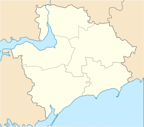
Kyryliwka is located on the Utlyuk-Liman (Ukrainian Утлюкский лиман ), on the Molochna - Liman and on the north bank of the Sea of Azov in Jakymiwka Raion . The Rajonzentrum Yakymivka is about the territorial road Т- 08-20 to reach after 44 km in the north. The Fedotowa Spit begins near Kyryliwka (Ukrainian Федо́това коса́ ), at the end of which is the Byyuchy Island .
The village, founded in 1805, received the status of an urban-type settlement in 1967. The village of Lymanske ( Лиманське ⊙ ) with about 180 inhabitants also belongs to the Kyryliwka settlement council .
Web links
- Entry on the place in the Encyclopedia of Modern Ukraine (Ukrainian)
Individual evidence
- ↑ Cities in Ukraine on pop-stat.mashke.org; accessed on May 24, 2018


