Ternuwate
| Ternuwate | ||
| Тернувате | ||

|
|
|
| Basic data | ||
|---|---|---|
| Oblast : | Zaporizhia Oblast | |
| Rajon : | Novomykolaivka district | |
| Height : | 154 m | |
| Area : | 2.4 km² | |
| Residents : | 1,306 (2019) | |
| Population density : | 544 inhabitants per km² | |
| Postcodes : | 70150 | |
| Area code : | +380 6144 | |
| Geographic location : | 47 ° 50 ' N , 36 ° 8' E | |
| KOATUU : | 2323655500 | |
| Administrative structure : | 1 urban-type settlement , 3 villages | |
| Address: | вул. Центральна буд. 9 70 150 смт. Тернувате |
|
| Website : | City council website | |
| Statistical information | ||
|
|
||
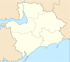
Ternuwate ( Ukrainian Тернувате ; Russian Терноватое Ternowatoje ) is an urban-type settlement in the north of the Ukrainian Zaporizhia Oblast with around 1,300 inhabitants (2019).
The village, founded in 1889, received urban-type settlement status in 1957. Ternuwate is the administrative center of the settlement council of the same name, which also includes the villages of Saritschne ( Зарічне ⊙ ) with about 15 inhabitants, Kosivzewe ( Косівцеве ⊙ ) with about 170 inhabitants and Prydorozhnye ( Придорожнє ⊙ ) with about 50 inhabitants.
Ternuwate is located on the left bank of the Hajtschul , a 130 km long left tributary of the Vovcha in Novomykolaivka district 28 km southeast of the district center Novomykolaivka on the border with Dnepropetrovsk Oblast . The Zaporizhia Oblast Center is about 90 km west of Ternuwate. The village has a train station on the Dnipro - Berdyansk railway line .
Web links
Individual evidence
- ↑ Demographics of Ukrainian cities on pop-stat.mashke.org , accessed on May 20, 2020
- ^ Local history of Ternuwate in the history of the cities and villages of the Ukrainian SSR ; accessed on May 20, 2020 (Ukrainian)


