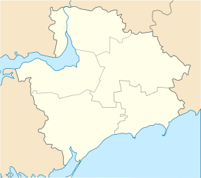
Novomykolaivka
| Novomykolaivka | ||
| Новомиколаївка | ||

|
|
|
| Basic data | ||
|---|---|---|
| Oblast : | Zaporizhia Oblast | |
| Rajon : | Novomykolaivka district | |
| Height : | 87 m | |
| Area : | 9.15 km² | |
| Residents : | 5,238 (2019) | |
| Population density : | 572 inhabitants per km² | |
| Postcodes : | 70100 | |
| Area code : | +380 6144 | |
| Geographic location : | 47 ° 59 ' N , 35 ° 54' E | |
| KOATUU : | 2323655100 | |
| Administrative structure : | 1 urban-type settlement , 2 villages | |
| Address: | вул. Українська буд. 34 70 100 смт. Новомиколаївка |
|
| Website : | Website of the settlement council | |
| Statistical information | ||
|
|
||
Novomykolajiwka (Ukrainian Новомиколаївка ; Russian Новониколаевка Novonikolajewka ) is an urban-type settlement in the north of the Ukrainian Oblast of Zaporizhia with about 5200 inhabitants (2019). It is the administrative center of Novomykolaivka district and lies on the Verkhnya Tersa River .
The place was first mentioned in 1790, was known until 1812 Kotschereschki and since 1957 has the status of an urban-type settlement.
In addition to Novomykolaivka, the settlement council also includes the villages of Mychajliwske ( Михайлівське ) and Ostrowske ( Островське ).
Sons and daughters of the village
Witold Fokin , the last head of government of the Ukrainian SSR and first prime minister of independent Ukraine, was born in the village in 1932 .
Web links
- Entry on the place in the Encyclopedia of the History of Cities and Villages of the Ukrainian SSR (Ukrainian)
- Municipal Council website on rada.info (Ukrainian)
Individual evidence
- ↑ Cities and Settlements in Ukraine on pop-stat.mashke.org ; accessed on August 12, 2019
- ↑ Local website on the official website of the Verkhovna Rada ; accessed on August 12, 2019 (Ukrainian)

