Osceola (Indiana)
| Osceola | ||
|---|---|---|
 |
||
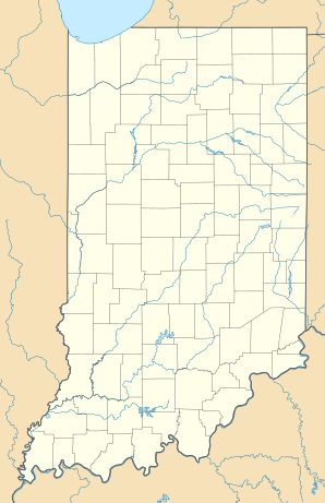
| Location in Indiana | ||
|
|
||
| Basic data | ||
| Foundation : | 1837 | |
| State : | United States | |
| State : | Indiana | |
| County : | St. Joseph County | |
| Coordinates : | 41 ° 40 ′ N , 86 ° 5 ′ W | |
| Time zone : | Eastern ( UTC − 5 / −4 ) | |
| Residents : | 2,463 (as of 2010) | |
| Population density : | 699.7 inhabitants per km 2 | |
| Area : | 3.55 km 2 (approx. 1 mi 2 ) of which 3.52 km 2 (approx. 1 mi 2 ) is land |
|
| Height : | 225 m | |
| Postal code : | 46561 | |
| Area code : | +1 574 | |
| FIPS : | 18-57114 | |
| GNIS ID : | 0452723 | |
Osceola is a city with a status of "City" in St. Joseph County in the US state of Indiana . In 2010 Osceola had 2463 inhabitants.
geography
The coordinates of Osceola are 41 ° 39'49 "north latitude and 86 ° 4'31" west longitude. According to the 2010 United States Census , the metropolitan area of Osceola covers an area of 3.55 square kilometers (1.37 sq mi).
population
According to the 2010 United States Census , Osceola had 2,463 people in 905 households and 672 families. The population density was 699.2 people per square kilometer (1811.0 / sq mi).
The 2010 population was composed of 97.79% white, 0.43% African American, 0.11% Asian, 0.0% Native American, 0.75% from other races, and 0.91% with two or more races . Of the 2,463 inhabitants, 25.9% were under 18 years, 8.2% between 18 and 24 years, 29.3% between 25 and 44 years, 24.1% between 45 and 64 years and in 12.5% of the people were 65 years of age or older. The mean age was 38.0 years and around 51% of the population were male.
