Paso de la Cumbre
| Paso de la Cumbre | |||
|---|---|---|---|
|
Statue of Cristo Redentor on the top of the pass |
|||
| Compass direction | west | east | |
| Pass height | 3834 m | ||
| region | Valparaíso region | Province of Mendoza | |
| Watershed | Rio Juncal | Rio Mendoza | |
| Mountains | To the | ||
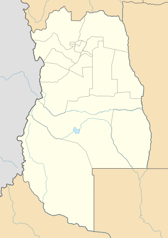
| Map (Mendoza) | |||
|
|
|||
| Coordinates | 32 ° 49 ′ 32 ″ S , 70 ° 4 ′ 15 ″ W | ||
The Paso de la Cumbre (German: "Passage des Gipfel" ) is a heavily used option to cross the main ridge of the Andes between Mendoza in Argentina and Santiago de Chile in Chile .
Naming
The pass is also known by the following names:
- Paso Libertadores - because of the crossing of the mountains by Chilean-Argentine troops under the command of Juan Gregorio de Las Heras in 1817
- Paso Uspallata - after the last major settlement on the Argentine side
- Paso del Cristo Redentor - after a statue of Christ erected in 1904 on the top of the pass
- Paso Iglesia - after a chapel built on the Chilean side
- Paso Bermejo - after the rusty brown color of the surrounding mountains
location
The 3,834 meter high pass is 32 ° 50 ′ south latitude and 70 ° 4 ′ west longitude south of the Ruta Nacional 7, which now runs through the Túnel del Cristo Redentor , near the Las Cuevas settlement .
course
The ascent on the Argentine side takes place through the valley of the Rio Mendoza, whereby the foothills of the Andes are reached at the Embalse Potrerillos. Before reaching the river valley, there is a great view of the Tupungato in the southwest . As far as Uspallata , the road climbs continuously and runs north, turning in this municipality located at about 2,000 meters, following the course of the river, to the south-west. Close to the Argentine border control in Punta de Vacas, the valley of the Rio Tupungato offers a last view of the volcano of the same name. The pass road now runs parallel to the disused railway line to the west and passes Puente del Inca and a viewpoint with a view of the Aconcagua before it reaches the border settlement of Las Cuevas. While long-distance commercial traffic only uses the tunnel today, tourists are still transported over the numerous switchbacks to the top of the pass.
The Chilean side of the pass - due to the geographical conditions, is much steeper than the Argentine side - is formed by the valley of the Rio Juncal; near Los Andes the longitudinal valley is reached.
Border conflict
An international claim to territory has existed since 1817 .
See also
Web links
- Page of the Gendarmerie (Spanish)


