Peten-Itzá lake
| Peten-Itzá lake | ||
|---|---|---|

|
||
| Satellite image of Lake Petén Itzá | ||
| Geographical location | El Peten , Guatemala | |
| Islands | 1 | |
| Places on the shore | Flores | |
| Data | ||
| Coordinates | 16 ° 59 ′ N , 89 ° 48 ′ W | |
|
|
||
| Altitude above sea level | 110 m | |
| surface | 99 km² | |
| length | 32 km | |
| width | 5 km | |
| Maximum depth | 160 m | |
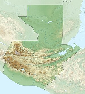
Lake Peten-Itzá ( Spanish: Lago Peten Itzá ) is the third largest lake in Guatemala after Lake Izabal and Lago de Atitlán . It is located in the middle of the department El Peten at an altitude of 110 meters. The approximately 32 km long and 5 km wide lake has an area of 99 km² and is up to 160 m deep. Flores , the capital of the department, is located on an island near the south bank, which is connected by a bridge to the large suburbs of San Benito and Santa Elena. On the northeastern shore of the lake is the Cerro Cahui nature reserve with a wildlife park run by a university . Lake Petén Itzá is surrounded by a few smaller lakes and several Mayan ruins , including Tikal . The well-developed highway to Guatemala City and located in Santa Elena Flores airport itself could Lake Petén Itzá develop into a tourist destination with the city of Flores in recent years.
