Plainfield, New Hampshire
| Plainfield | ||
|---|---|---|
|
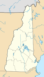
Location in New Hampshire
|
||
| Basic data | ||
| Foundation : | 1761 | |
| State : | United States | |
| State : | New Hampshire | |
| County : | Sullivan County | |
| Coordinates : | 43 ° 32 ′ N , 72 ° 21 ′ W | |
| Time zone : | Eastern ( UTC − 5 / −4 ) | |
| Residents : | 2,241 (as of: 2000) | |
| Population density : | 16.6 inhabitants per km 2 | |
| Area : | 137.0 km 2 (approx. 53 mi 2 ) of which 135.1 km 2 (approx. 52 mi 2 ) are land |
|
| Height : | 159 m | |
| Postal code : | 03781 | |
| Area code : | +1 603 | |
| FIPS : | 33-64320 | |
| GNIS ID : | 0873700 | |
| Website : | plainfieldnh.org | |
Plainfield is a municipality in the US state of New Hampshire . It's in Sullivan County . Plainfield has 2,241 inhabitants and 844 households (as of 2005).
geography
The place has an area of 137.0 km², of which 1.9 km² is water.
Plainfield is at an altitude of 160 meters above sea level . In the urban area is the Helen Woodruff Smith Bird Sanctuary and the Annie Duncan State Forest . Plainfield is located on a plateau of the Green Mountains , the so-called Upper Valley .
history
The city was founded in 1761. In 1813, the Kimball Union Academy, which still exists today, was founded in the Meriden district. The artists' colony Cornish Art Colony on the outskirts existed from 1885 to 1930.
Library
The Philip Read Memorial Library serves the residents of the town and the surrounding area.
Web links
- Plainfield, NH Official Website (English).
