Polihon
| Polihon | ||
| Полігон | ||

|
|
|
| Basic data | ||
|---|---|---|
| Oblast : | Mykolaiv Oblast | |
| Rajon : | Vitovka district | |
| Height : | 49 m | |
| Area : | Information is missing | |
| Residents : | 2,216 (2001) | |
| Postcodes : | 57217 | |
| Area code : | +380 512 | |
| Geographic location : | 46 ° 58 ' N , 32 ° 8' E | |
| KOATUU : | 4823384101 | |
| Administrative structure : | 1 settlement | |
| Address: | вул. Центральна 25 57217 с-ще Полігон |
|
| Website : | City council website | |
| Statistical information | ||
|
|
||
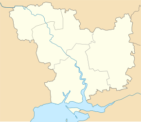
Polihon ( Ukrainian Полігон ; Russian Полигон Poligon ) is a settlement in the south of the Ukrainian Oblast Mykolaiv with about 2200 inhabitants (2001).
The settlement, which was founded in 1921, was the administrative center of the district council of the same name in the center of Vitovka district until 2016 , which also included the Wodnyk ( Водник , ⊙ ) settlement with around 160 inhabitants. In 2016, the village became part of the 296.81 km² rural community Shevchenkoe .
The village is located about 10 km east of the center of the Oblast capital Mykolaiv . The national trunk road N 11 runs north of Polihon and the international trunk road M 14 / E 58 runs east . The village has train stations on the Mykolayiv – Dolynska and Mykolayiv – Tymkowe ( Тимкове ) railway lines .
Individual evidence
- ↑ Local website on the official website of the Verkhovna Rada ; accessed on May 26, 2018 (Ukrainian)
- ↑ rural community Shevchenkoe ; accessed on May 26, 2018 (Ukrainian)

