Sandy (Bedfordshire)
Coordinates: 52 ° 8 ′ N , 0 ° 17 ′ W
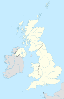
Sandy is a city in the north of the county of Bedfordshire in England . It is located west of Bedford on the Ivel River and has a population of just under 11,000 (2004).
The story of Sandy goes back to Roman times . After they left Britain in the 5th century, the settlement belonged to the Kingdom of Mercia . In the Domesday Book of 1086 she is recorded as Sandeia . The name goes back to the old English Sandieg (sand island).
With the expansion of the Great Northern Line to Peterborough , Sandy was connected to the railroad in the mid-19th century. Another railway line to Cambridge , the Sandy to Potton Railway , was built by William Peel (a son of British Prime Minister Robert Peel ). The first freight train ran here in 1857, and a year later a passenger train.
RAF Tempsford
About four km northeast of Sandy was a small military airfield during the Second World War , the Royal Air Force Station Tempsford , or RAF Tempsford for short .
In addition to a few other, especially bomber squadrons, the airfield was the base of operations of the 138th and 161st (Special Duty) Squadrons during the war . They supported the hidden activities of the Special Operations Executive (SOE) on the European continent occupied by Nazi Germany, by dropping agents and supplies and also by flying people out in Lysander planes.
On September 24, 1942, the first two female SOE agents, Andrée Borrel and Lise de Baissac from RAF Tempsford, took off. Even Violette Szabo started from here to her two inserts and in February 1943 Wing Commander Edward Yeo-Thomas . The future Air Chief Marshal Sir Lewis Macdonald Hodges was stationed here as a squadron commander during the war.
