Raven raft
| Raven raft | ||
| Data | ||
| location | Darmstadt-Dieburg district , Hesse ( Germany ) | |
| origin |
Kirchbergteich near Trautheim in the Odenwald 49 ° 50 ′ 18 ″ N , 8 ° 40 ′ 53 ″ E |
|
| muzzle | near Darmstadt-Eberstadt Coordinates: 49 ° 49 ′ 17 ″ N , 8 ° 39 ′ 15 ″ E 49 ° 49 ′ 17 ″ N , 8 ° 39 ′ 15 ″ E
|
|
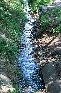
The raven raft is a stream between Trautheim and Darmstadt-Eberstadt .
Geography and course
The raven raft has its source in the Kirchberg pond on the north-western edge of the "Kirchberg" near Trautheim . The stream initially flows in a south-westerly direction through the forest to the “Walthersteich”. On the northern edge of the “Waltersteich” is the “Walthersquelle”, which feeds the stream and the pond. Then the raven raft flows through a marsh area into the Eberstadt district. The brook flows through meadows in a south-westerly direction, past the estate "Die Koppel" (formerly Haller Ranch) to the eastern edge of Eberstadt. The raven raft flows into a pipe northwest of the Mühltal baths. Whether the pipe ends in the Modau or in the Darmstadt sewer system is controversial.
