Rauer-Knöll branching
| Rauer-Knöll branching | ||
|---|---|---|
|
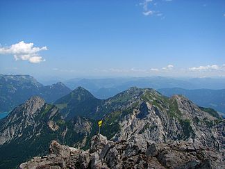
The eastern part of the Rauer-Knöll junction from the Sonnjoch |
||
| Highest peak | Rauer Knöll ( 2278 m above sea level ) | |
| location | Tyrol , Austria | |
| part of | Karwendels | |
|
|
||
| Coordinates | 47 ° 23 ' N , 11 ° 37' E | |
|
The branch is named after the rough Knöll |
||
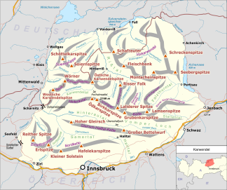
The south-eastern part of the Karwendel , which is located east of the Hinterautal-Vomper chain and north of the Stallental and the Inn Valley, is called the Rauer-Knöll branch . In the north the mountain range is bounded by the Falzthurntal , in the east the last foothills reach the Achensee .
The Rauer-Knöll branch is named after the highest elevation in this mountain group, the Rauen Knöll ( 2278 m above sea level ).
Important peaks (in order of altitude)
- Rauer Knöll ( 2278 m above sea level )
- Rappenspitze ( 2223 m above sea level )
- Kaserjoch ( 2198 m above sea level )
- Ochsenkopf ( 2148 m above sea level )
- Lunstkopf ( 2143 m above sea level )
- Stanser Joch ( 2102 m above sea level )
- Gamskarspitze ( 2098 m above sea level )
- Brentenkopf ( 2024 m above sea level )
- Dristenkopf ( 2005 m above sea level )
- Bärenkopf ( 1991 m above sea level )
- Zwölferkopf ( 1491 m above sea level )
Web links
Commons : Rauer-Knöll-branching - collection of pictures, videos and audio files


