
Sonnjoch
| Sonnjoch | ||
|---|---|---|
 The Sonnjoch of Pertisau |
||
| height | 2457 m above sea level A. | |
| location | Tyrol , Austria | |
| Mountains | Sonnjoch Group , Karwendel | |
| Dominance | 3.4 km → Lamsenspitze | |
| Notch height | 625 m ↓ Gramai saddle | |
| Coordinates | 47 ° 24 '44 " N , 11 ° 36' 18" E | |
|
||
| rock | Alpine shell limestone, Wetterstein limestone | |
| Age of the rock | Anisium - Lower Carnium | |
 Sonnjoch north ridge |
||

The Sonnjoch is a 2457 m above sea level. A. high mountain in the eastern Karwendel and main mountain of the Sonnjoch group of the same name .
Location and surroundings
The Sonnjoch is a free-standing, striking mountain that is nestled between the Engtal in the west and the Falzthurntal in the east. In the north, the steep drop to the Bärenlahner Sattel ( 1994 m above sea level ) separates it from the Schaufelspitze . From its summit you can see the entire Hinterautal-Vomper chain up to the Birkkarspitze , to the north-east you can see the Falzthurntal valley, which is more than 1200 meters lower , of the Achensee and the Rofan mountains behind . When the visibility is good, you can also see the entire main ridge of the Eastern Alps from the Grossglockner to the Stubai Alps . While its southwest side rises moderately steeply and is characterized by the dark Alpine Muschelkalk in the upper area , the Sonnjoch drops steeply to vertically in all other directions into walls made of light Wetterstein limestone .
Tourist development
From 1842 to 1843, the then kk Salinen-Directions intern from Hall in Tirol , Marko Vincenc Lipold , undertook numerous barometric height measurements on behalf of the Geognostic-Mining Association for Tyrol and Vorarlberg , where the Sonnjoch measured 7785 feet ( 2461 m ) has been.
Climbs
The Sonnjoch is one of the most popular peaks of the Karwendel, mainly because of its good view and its not too difficult ascent.
- The well-signposted normal route to the Sonnjoch leads from the Gramaialm ( 1263 m above sea level ) at the end of the Falzthurntal through a brook valley to the Gramaialm-Hochleger ( 1756 m above sea level ). From there it goes first across meadows and pine forest north to the southwest ridge of the Sonnjoch and from there along the broad and stony ridge northeast to the summit. The ascent takes about 3.5 hours, and the descent should take about 2 hours.
- This path can also be walked from the Eng, where you can get to the Gramaialm-Hochleger via the Binssattel . For the 1400 meters of altitude with counter descent and ascent, 4.5 hours are estimated. From the Binssattel you can also walk the 2017 m above sea level in half an hour . A. Climb the high Gramaijoch pathless. The descent from the Sonnjoch can therefore be mastered in 2.5 hours.
- Alternatively, the Sonnjoch can also be climbed via an airy, partially exposed path over the Bärenlahner and Bärenlahner Sattel , which is rated I on the UIAA scale . On this ascent, the requirements for a head for heights , surefootedness and alpine experience are significantly greater than on the normal route.
Individual evidence
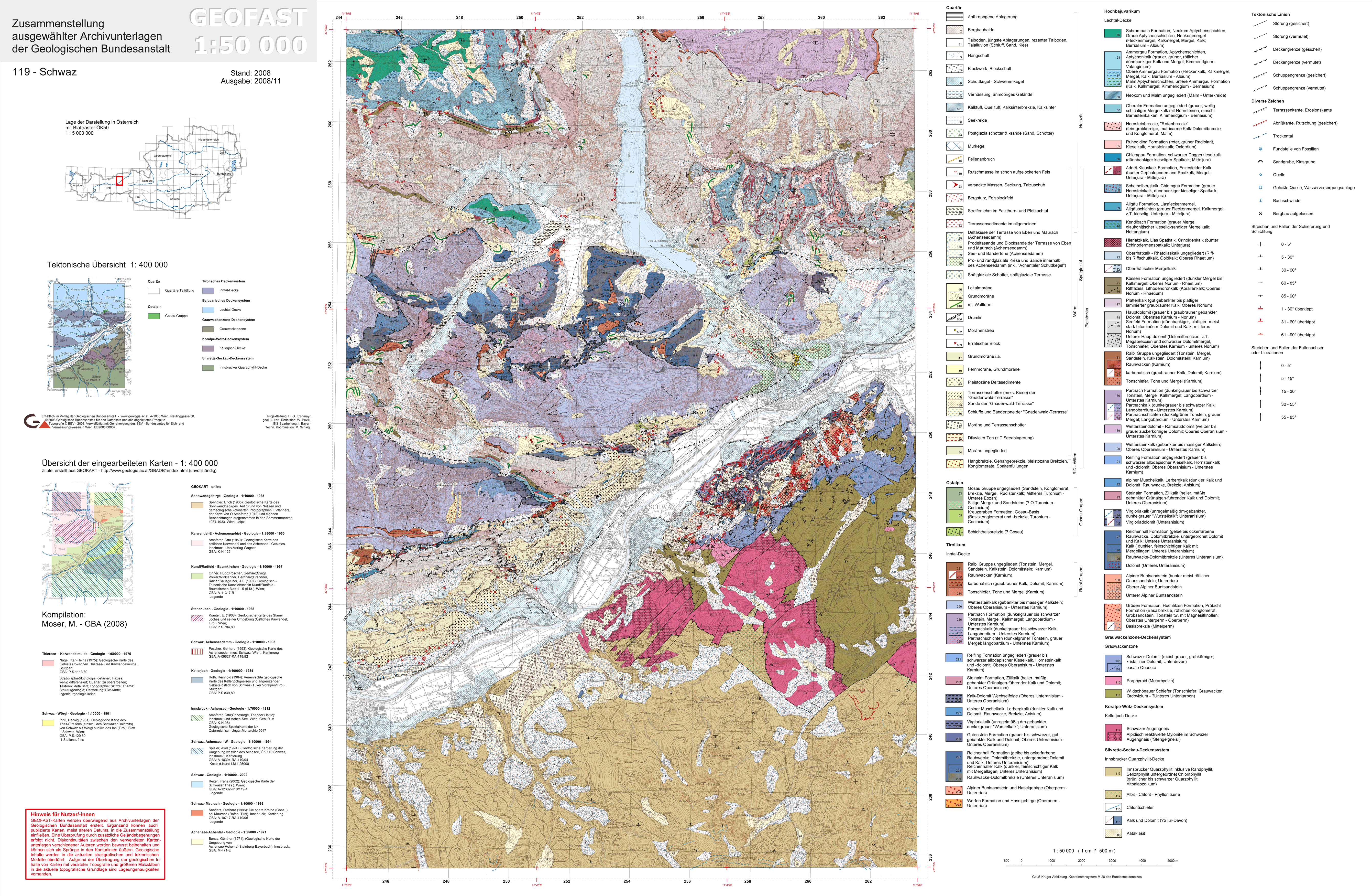
- ↑ Geological Federal Institute : Geofast map 1: 50,000, sheet 119 Schwaz, edition 2008/11
- ^ Hermann Widmann: Explanations of the Geognostic Map of Tyrol , Innsbruck 1853, SI7 and IV.77
- ↑ Evamaria Wecker, Luis Stitzinger : Mountain tours by bus & train Bavarian Alps. 88 destinations between Allgäu and Berchtesgaden. Published by the German Alpine Association Section Munich. Geo book, Munich 2002, ISBN 3-925308-09-1 , p. 107.
literature
- Walter Klier : Alpine Club Guide. Karwendel alpine. 15th revised edition. Bergverlag Rother, Munich 2005, ISBN 3-7633-1121-1 .
- Alpine Club Map 5/3 Karwendel Mountains, eastern sheet.