Rolwaling Chu
|
Rolwaling Chu Rolwaling Chu |
||
|
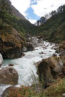
The Rolwaling Chu shortly after Dokhang |
||
| Data | ||
| location | Dolakha districts , Rolwaling Himal ( Nepal ) | |
| River system | Ganges | |
| Drain over | Tamakoshi → Sunkoshi → Koshi → Ganges → Indian Ocean | |
| Source height | 4500 m | |
| muzzle |
Tamakoshi coordinates: 27 ° 53 '0 " N , 86 ° 14' 0" E 27 ° 53 '0 " N , 86 ° 14' 0" E |
|
| Mouth height | 1400 m | |
| Height difference | 3100 m | |
| Bottom slope | 12% | |
| length | 26 km Trekking map "Jiri to Everest" 1: 100,000 | |
| Catchment area | 279 km² | |
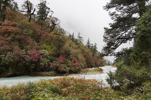
The Rolwaling Chu is a tributary of the Tamakoshi and the river of the Rolwaling Valley in the Rolwaling Himal , Nepal , Himalaya . It runs in an east-west direction, its source consists of several glacial streams, including the outflow of the Tsho Rolpa glacier end lake . It flows into the Tamakoshi and is thus part of the Ganges river system. Within a length of 26 km, the river overcomes 3,000 meters of altitude and is therefore whitewater in character . There are several small Sherpa villages and lodges along its course . The route of the Rolwaling Trek runs largely along the river.
The Rolwaling Chu just below Beding

