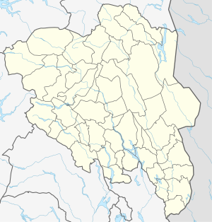
Rotvatnet (Innlandet)
| Rotvatnet | ||
|---|---|---|
| Geographical location | Etnedal ( Innlandet ) | |
| Drain | → Etna , Dokka , Randsfjord | |
| Location close to the shore | Dokka | |
| Data | ||
| Coordinates | 60 ° 54 ′ 28 " N , 9 ° 52 ′ 0" E | |
|
|
||
| Altitude above sea level | 800 moh. | |
The Rotvatnet (also Rotvatn ) is a small lake in the area of the municipality Nordre Land in the Fylke (province) Innlandet , Norway .
The lake is located at an altitude of around 800 m, around 12 km (as the crow flies) northwest of Dokka , the administrative center of the municipality. It is about 1.1 km long from east to west and about 500 m wide from north to south. It drains via small streams first into the 200 × 200 m large Little Rotvatnet ( Vesle Rotvatnet , Lille Rotvatnet ), only 200 m further south, and from there first to the west and then to the south into the Etna .
The lake can be reached via a dirt road that runs from its south bank to the west to Leppdalsvegen; this branches off with the Fv 189 ("Nordgardslinna") about 9 km west of Dokka from the Fv33 ("Nordsinni") to the north.
