Rybakivka
| Rybakivka | ||
| Рибаківка | ||

|
|
|
| Basic data | ||
|---|---|---|
| Oblast : | Mykolaiv Oblast | |
| Rajon : | Berezanka district | |
| Height : | 26 m | |
| Area : | 100.5 km² | |
| Residents : | 1,640 (2006) | |
| Population density : | 16 inhabitants per km² | |
| Postcodes : | 57462 | |
| Area code : | +380 5153 | |
| Geographic location : | 46 ° 37 ' N , 31 ° 21' E | |
| KOATUU : | 4820983901 | |
| Administrative structure : | 3 villages | |
| Address: | вул. Поштова 7 57460 с. Рибаківка |
|
| Website : | http://www.rybakovka.com/index.html | |
| Statistical information | ||
|
|
||
Rybakivka ( Ukrainian Рибаківка ; Russian Рыбаковка Rybakowka ) is a village in the south of the Ukrainian Oblast of Mykolaiv with about 1,600 inhabitants (2006).
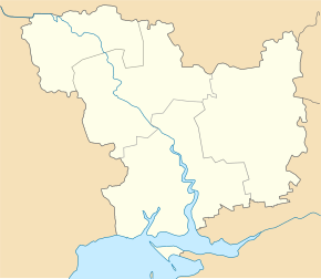
Rybakiwka located in Rajon Beresanka at the mouth of Beresan-Liman in the Black Sea 31 km south of Rajonzentrum Beresanka . Beresan Island is 4 kilometers off the coast and boat trips from the village are possible. Mykolaiv Oblast Center is 81 km northeast of the village. The territorial road T-15-15 leads past the village . The district council , whose administrative center is Rybakivka , also includes the villages of Hlyboke ( Глибоке ⊙ ) with about 10 inhabitants and Luhowe ( Лугове ⊙ ) with about 380 inhabitants.
Web links
Commons : Rybakiwka - collection of pictures, videos and audio files
Individual evidence
- ↑ Rybakivka on the official website of the Verkhovna Rada ; accessed on January 26, 2015


