
Sông Đuống


The river Đuống ( Sông Đuống ), known before the 19th century as Thiên Đức , French-colonial Canal de Bac-Ninh or Canal des Rapides , is a 68 kilometer long watercourse in northern Vietnam . It is the northernmost arm of the Red River in its delta .
course
The river separates in the urban area of Hanoi north of the center on the left side from the main stream ( ⊙ ) and then flows east through the province of Bắc Ninh .
It finally ends at the border with the province of Hải Dương (near Phả Lại ) through union with the Thái Bình ( ⊙ ) coming from the north . After about four kilometers, the merged river divides into a south-flowing arm, still called Thái Bình, and an east-flowing arm, called Kinh Thầy . From the latter (in fact the continuation of the Đuống) emerge after several further branches and name changes the Bạch Đằng and the Cấm , which flow into the Gulf of Tonkin at Haiphong .
history
The current canal-like appearance of the river was created during the reign of the Nguyễn Emperor Tự Đức in the mid-19th century. After severe flooding had previously occurred, the fragile dams were replaced and the river bed deepened significantly in order to be able to discharge larger amounts of water. Nevertheless, floods remained a problem: In August 1937 the dams broke again and the rice harvest of the surrounding provinces was destroyed. In the late 1950s and 1960s, the North Vietnamese government therefore carried out extensive work on the river, which further increased its flow rate.
The poet Hoàng Cầm , well known in Vietnam , made the river a central part of his poem Bên kia sông Đuống (“On the other side of the Đuống River”).
bridges
The Đuống is crossed by the following bridges (in the direction of the river):
- Cầu Đông Trù ( AH14 )
- Cầu Đuống (combined rail and road bridge (old National Road 1 ), built during the colonial era, destroyed by a US air strike in the Vietnam War)
- Cầu Phù Đổng (Bridge of the Highway ( Đường cao tốc) Hanoi– Bắc Giang , AH1 / QL1A )
- Cầu Hồ (QL38)
- Cầu Bình Than (QL17)
Web links
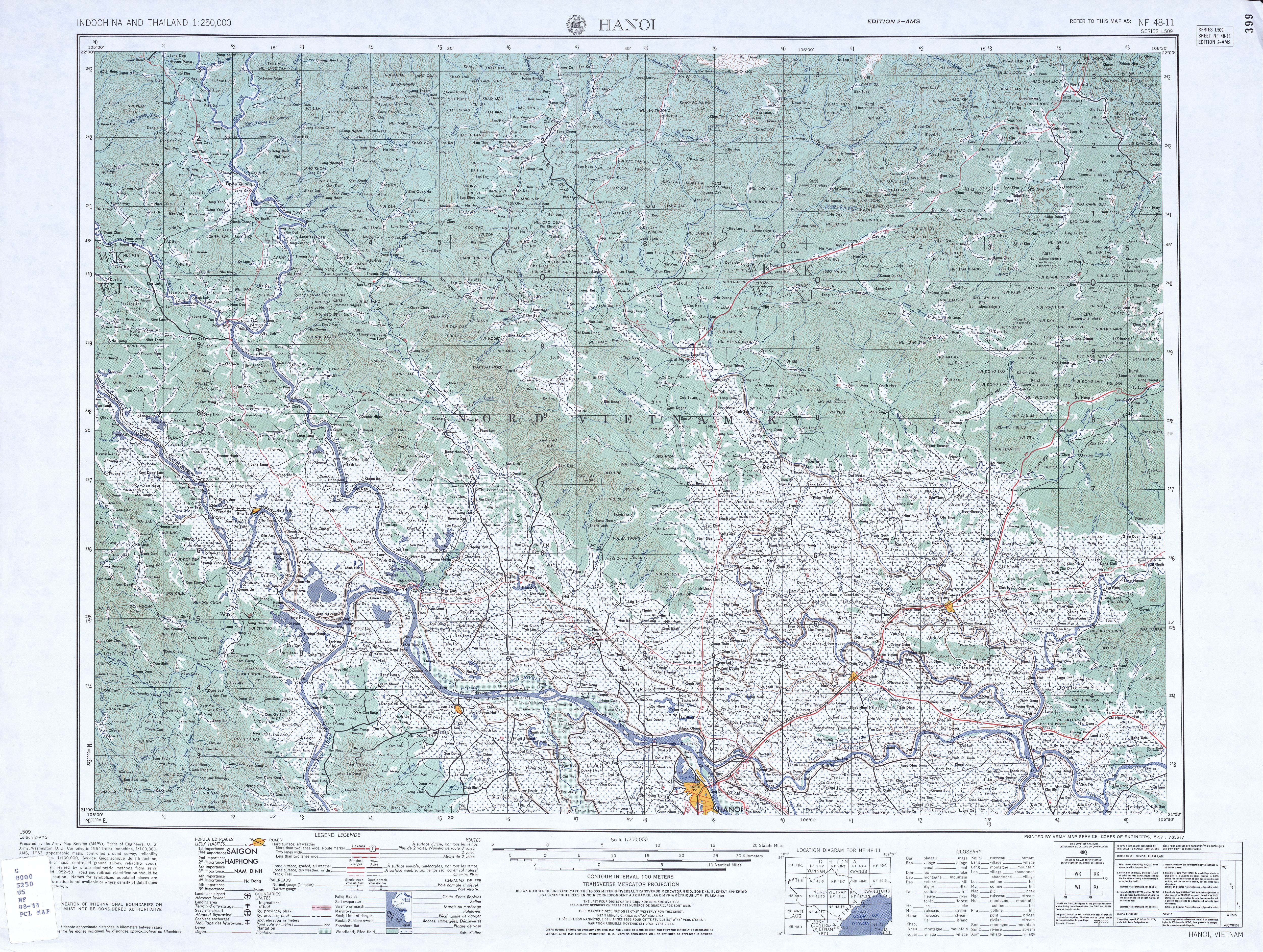
- Map from the 1950s: US Army Map Service: Indochina and Thailand 1: 250,000, Series L509 (1954-) , University of Texas Libraries
- History in OpenStreetMap
Individual evidence
- ↑ Sandra Kurfürst: Redefining Public Space in Hanoi: Places, Practices and Meaning , LIT Verlag Münster, 2012, p. 127
- ↑ GeoNames : Sông Đuống
- ↑ Hỏi đáp về các sông, suối, thác, hồ ao nổi tiếng ở Việt Nam (Directory of Watercourses and Lakes in Vietnam), Nhà xuất bản Quân đội nhân dân, 2009, p. 17
-
↑ Mart A. Stewart, Peter A. Coclanis: Environmental Change and Agricultural Sustainability in the Mekong Delta , Springer, 2011, p. 56f
Geoffrey C. Gunn: Rice Wars in Colonial Vietnam: The Great Famine and the Viet Minh Road to Power , P. 14f, 122f;
Government of Vietnam, Ministry of Science, Technology and Environment: Red River Delta Master Plan: River engineering , 1994, p. 34 - ↑ Jayne Werner, John K. Whitmore, George Dutton (Eds.): Sources of Vietnamese Tradition , Columbia University Press, 2012, pp. 450ff