Gulf of Tonkin
| Gulf of Tonkin | ||
|---|---|---|
| Waters | South China Sea | |
| Land mass | Asia , Hainan | |
| Geographical location | 19 ° 16 '22 " N , 107 ° 19' 33" E | |
|
|
||
| Tributaries | Red river | |
|
Gulf of Tonkin, map entry |
||
The Gulf of Tonkin (also Tonking , Tongking or Bay of Bắc Bộ ; Vietnamese : Vịnh Bắc Bộ ; Chinese : Běibù Wān北部 湾) is an offshoot of the South China Sea .
The name is derived from the Vietnamese landscape of Tonkin .
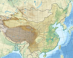
The island of Hainan and the Leizhou peninsula (part of Guangdong ) separate the Gulf from the sea to the east, to the north it is bounded by the Guangxi Autonomous Region (all part of the People's Republic of China ), to the west is Vietnam . To the south it opens to the South China Sea. The Qiongzhou Strait lies between Leizhou and Hainan .
The gulf is about 90,000 km² . The water is relatively shallow, the greatest depth is 68 m. The Red River flows into the Gulf. Hải Phong in Vietnam, Beihai (Peihai) in mainland China and Haikou in Hainan (on the Qiongzhou Strait) are the most important ports.
The Tonkin incident is historically significant , as a result of which the USA officially entered the Vietnam War .
One of the most famous sights in the gulf is Halong Bay .

