Salvatnet
| Salvatnet | ||
|---|---|---|
| Geographical location | Namsos , Nærøysund ( Trøndelag ) | |
| Drain | Moselva to the Foldafjord | |
| Data | ||
| Coordinates | 64 ° 45 ′ N , 11 ° 55 ′ E | |
|
|
||
| Altitude above sea level | 9 moh. | |
| surface | 44.77 km² | |
| volume | 6.87 m³ | |
| scope | 105.61 km | |
| Maximum depth | 464 m | |
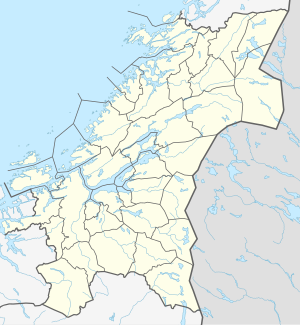
Salvatnet (or Salvatn ) is the name of a Norwegian lake in the municipalities of Namsos and Nærøysund in Trøndelag Province . With the deepest point (464 m) it is Norway and Europe's second deepest lake after the Hornindalsvatnet . Other sources name 482 m as the deepest point. It is a meromictic lake - a lake in which, as a rule, no water exchange takes place between the upper and lower layers.
See also
References and footnotes
- ↑ Facta om stadnamn . Kartverket . Retrieved May 26, 2019.
- ↑ The suffix "-et" is the Norwegian form of the definite neuter article . Hence there are the two forms Salvatnet and Salvatn .
