San Francisco Mountains (Utah)
| San Francisco Mountains | ||
|---|---|---|
|
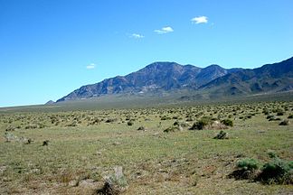
View from Wah Wah Valley to Frisco Mountain |
||
| Highest peak | Frisco Peak ( 2944 m ) | |
| location | Utah , USA | |
|
|
||
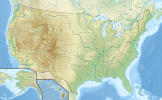
| Coordinates | 38 ° 32 ′ N , 113 ° 16 ′ W | |
The San Francisco Mountains are a mountain range in Millard and Beaver Counties in the state of Utah .
The approximately 23 kilometers long ridge separates the Wah Wah Valley from the Beaver Bottoms, in the north it continues east of Sevier Lake in the Cricket Mountains, in the south it runs out over the Shauntie Hills in the Escalante Desert .
The ridge consists mostly of Cambrian quartzites , alongside Pennsylvanian limestones and in places remains of volcanic activity from the Tertiary . Ore deposits were of historical importance - mainly silver , but also gold , copper , zinc and lead . Some mines are still active today, but the cities of Frisco and Newhouse have been abandoned for around 100 years.
The highest point of the mountains is Frisco Peak ( 2944 m ), it rises around 1,300 meters above the Wah Wah Valley.
The San Francisco Mountains are crossed in the south at Frisco Summit ( 1981 m ) by Utah State Route 21 , there is a direct connection from Medford to Sevier Lake via a dirt road over the Iron Mine Pass ( 1832 m ) .

