Santenberg
| Santenberg | ||
|---|---|---|
| height | 700 m above sea level M. | |
| location | Canton of Lucerne , Switzerland | |
| Dominance | 3.07 km → Chrüzberg | |
| Notch height | 185 m ↓ Volen | |
| Coordinates | 643 707 / 226929 | |
|
|
||
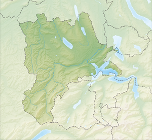
The Santenberg is a range of hills in the Swiss canton of Lucerne that extends from St. Erhard to Dagmersellen .
Affiliated communities are u. a. Wauwil , Egolzwil , Kaltbach and Nebikon on the southern side. The southern side borders on the well-known Wauwilermoos nature reserve . On the north side, the villages of Knutwil , Buchs and Uffikon border the mountain.
Height, use, forest
The Santenberg is at the highest point at the Chätziger Höchi 700 m. ü. M. The adjacent Wauwilermoos is at 499 m. ü. Thus the Santenberg has a height of 201 m. The main settlement area of Wauwil and Egolzwil is in the lower area of the south side of the slope . In the upper area there are some farms, meadows and a lot of forest. The north side towards Buchs is mainly used for agriculture.
geography
The Santenberg was created in the last Ice Age as a lateral moraine of a glacier. There are still foundlings today.
history
In Roman times a trade route led over the ridge. Since this route was forested, it gave the traders better protection from robbers and thieves, in contrast to the plain of the Wauwiler Moos.
Leisure time
The area of the Santenberg is a popular recreational area. There are many hiking trails and forest roads that invite you to hike and stroll. There are also a lot of trails for bikers and an orienteering map . The mountain is also popular with horse lovers.
Others
The municipality of Wauwil uses the name Santenberg as a distinguishing mark. The gymnastics club from Wauwil / Egolzwil also renamed itself in 2006 from KTV Konkordia Egolzwil-Wauwil to TV Santenberg. The Santenberg Energie Genossenschaft was also founded in 2012 as a result of a citizens' initiative, which operates photovoltaic systems for sustainable electricity generation.
The western part of the Santenberg is considered a TBE risk area, as ticks can transmit this disease here .
