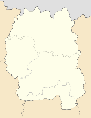
Sarichany
| Sarichany | ||
| Зарічани | ||

|
|
|
| Basic data | ||
|---|---|---|
| Oblast : | Zhytomyr Oblast | |
| Rajon : | Zhytomyr district | |
| Height : | 212 m | |
| Area : | 1.93 km² | |
| Residents : | 2,216 (2004) | |
| Population density : | 1,148 inhabitants per km² | |
| Postcodes : | 12440 | |
| Area code : | +380 412 | |
| Geographic location : | 50 ° 14 ′ N , 28 ° 39 ′ E | |
| KOATUU : | 1822082501 | |
| Administrative structure : | 1 village | |
| Address: | пров. Шкільний 8-Б 12440 с. Зарічани |
|
| Statistical information | ||
|
|
||
Saritschany ( Ukrainian Зарічани ; Russian Заречаны Saretschany ) is a village in the Ukrainian Oblast Zhytomyr with about 2200 inhabitants (2004).
The village, founded in 1650 under the name Psyschtsche ( Псище ), was part of the German settlement area Hegewald under the name Schröbelesberg at the time of the German occupation of Ukraine during the German-Soviet War . The village has had its current name since 1946.
Saritschany forms a district municipality within the Zhytomyr Rajon and is located on the right bank of the Teteriw across from the Zhytomyr Oblast center . The M 21 / E 583 trunk road runs east of the village .

