Schinberg
| Schinberg | ||
|---|---|---|
|
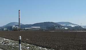
Schinberg to the left of the northwest, to the right the Frickberg , in the foreground DSM plant in Sisseln |
||
| height | 722 m above sea level M. | |
| location | Canton of Aargau , Switzerland | |
| Mountains | Table Jura | |
| Dominance | 7.35 km → Zeihergutsch | |
| Notch height | 169 m ↓ northeast. Elfingen | |
| Coordinates | 647 691 / 263 844 | |
|
|
||
|
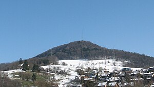
Frickberg (650 m) as you can see it from the motorway. |
||
The Schinberg is a hill in the Table Jura in the Swiss canton of Aargau . It lies to the east of Ittenthal , to whose municipality it belonged until 2009 - since then it has been entirely in the municipality of Kaisten . To the south lies the 622 meter high moss in the area of the municipality of Hornussen . In the west lies the Frickberg ( 650 m above sea level ). The Schinberg with its narrow ridge is rather untypical for this area and looks more like a hill of the Jura .
Individual evidence
- ^ National map of Switzerland, sheet 1069, Swisstopo


