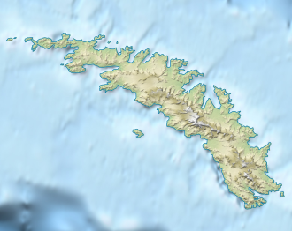
Shackleton Gap
| Shackleton Gap | |||
|---|---|---|---|
| Compass direction | West South West ( King Haakon Bay ) |
East-Northeast ( Possession Bay ) |
|
| Pass height | 300 m | ||
| location | South Georgia , South Atlantic | ||
| map | |||
|
|
|||
| Coordinates | 54 ° 8 ′ 4 ″ S , 37 ° 12 ′ 9 ″ W | ||
Shackleton Gap is an icy mountain pass on South Georgia . It runs at a height of about 300 m between King Haakon Bay and Possession Bay .
The British polar explorer Ernest Shackleton committed it together with Thomas Crean and Frank Worsley when they first crossed South Georgia in May 1916 during the endurance expedition (1914-1917). On the map included in his expedition report, it is recorded as Shackleton Pass . The UK Antarctic Place-Names Committee made an adaptation of this name in 1957.
Web links
- Shackleton Gap in the Geographic Names Information System of the United States Geological Survey (English)
- Shackleton Gap on geographic.org (English)
Individual evidence
- ^ Ernest Shackleton: South , Macmillan, New York 1920, p. 209 (accessed July 16, 2018 in the Internet Archive ).
