
Snæfell (Eyjabakkajökull)
| Snæfell | ||
|---|---|---|
 Snæfell |
||
| height | 1833 m | |
| location | Iceland | |
| Mountains | Icelandic highlands | |
| Coordinates | 64 ° 47 '50 " N , 15 ° 34' 32" W | |
|
||
| Type | Stratovolcano | |
| rock | Rhyolite | |
| Last eruption | Pleistocene | |
| First ascent | August 11, 1872 by Guðmundur Snorrason | |
 |
||

The Snæfell volcano is located in the highlands in the east of Iceland . With a height of 1833 m, it is the highest mountain in Iceland outside of Vatnajökull .
location
The mountain is located north of Eyjabakkajökull , the northeasternmost glacier tongue of Vatnajökull.
Volcanism
It is a small central volcano made of rhyolite and alkali basalts that has not been active since the Ice Age , which ended in Iceland 10,000 years ago. It is the youngest central volcano in East Iceland. The mountain is a volcano that was partially formed under glaciers from the Ice Age. There is disagreement among geologists about its age, some suspect its last eruptions were 10,000 years ago, others, however, about 150,000 years ago.
A magma chamber is apparently located at a remarkable depth of about 13 km, which was periodically filled and closed, which shows the strong differentiation of the magma, i. H. the conversion of considerable proportions into rhyolite, explains.
The chemical composition of the magma of the lateral volcanic zone Snæfell - Öræfajökull corresponds roughly to that of Torfajökull and could therefore represent a future rift zone.
glacier
Because of its considerable height, there are firn snow fields on the mountain even in summer and some small glaciers reach down into the valleys. The summit itself is not glaciated.
First ascent and hiking on Snæfell
The first known attempt to climb the mountain was made by Sveinn Pálsson . However, this had to turn back in September 1794 due to worsening weather. On August 11, 1872, Snæfell was finally climbed by Guðmundur Snorrason (where known) for the first time.
The fact that Sveinn Jónsson even climbed up on horseback in 1925 proves that the mountain is not difficult to climb. You can also take a snowmobile to the summit.
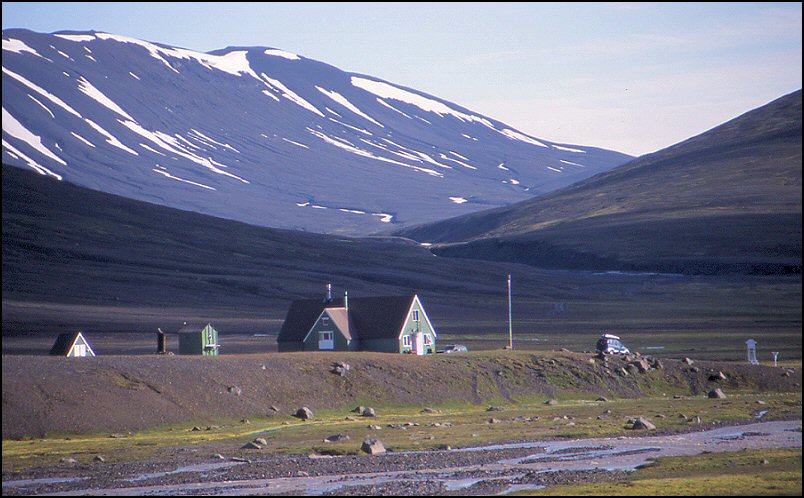
At the foot of Snæfell to the west there is a hut belonging to the Icelandic Trekking Association. From here you can climb the mountain, another ascent route begins in the northeast of the same. The view from the mountain in all directions is famous.
Reindeer pastures
The largest contiguous overgrown area in the Icelandic highlands was at its feet. It was an important pasture for reindeer .
A large part of this area is now located under the Hálslón reservoir , which is part of the Kárahnjúkar dam .
See also
Web links
Individual evidence
- ↑ a b c V. L. Hards, et al .: The magmatic evolution of the Snæfell volcanic center; an example of volcanism during incipient rifting in Iceland (Abstract, 2000)
- ^ Ari Trausti Guðmundsson, Pétur Þorleiffsson: Íslensk fjöll. Gönguleiðir á 151 tind. Reykjavík 2004, p. 246
- ↑ Íslandshandbókin. 2. bindi. 1989, p. 596
- ↑ Íslandshandbókin, ibid. P. 596 f.
- ↑ Ari Trausti, ibid., P. 246 f.
- ↑ Íslandshandbókin, ibid., P. 597; see. also on Kringilsárrani , ibid., p. 585