Stafford, Virginia
| Stafford | ||
|---|---|---|
 |
||
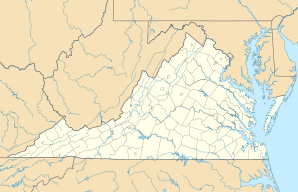
| Location in Virginia | ||
|
|
||
| Basic data | ||
| State : | United States | |
| State : | Virginia | |
| County : | Stafford County | |
| Coordinates : | 38 ° 25 ′ N , 77 ° 24 ′ W | |
| Time zone : | Eastern ( UTC − 5 / −4 ) | |
| Residents : | 4,239 (as of 2010) | |
| Population density : | 381.9 inhabitants per km 2 | |
| Area : | 11.1 km 2 (approx. 4 mi 2 ) | |
| Postcodes : | 22554, 22556 | |
| FIPS : | 51-74912 | |
| GNIS ID : | 1498540 | |
| Website : | www.co.stafford.va.us | |
Stafford is an administrative unit ( CDP ) and the seat of the county government in Stafford County in the US state of Virginia with over 4,000 residents.
The place is between Fredericksburg and Alexandria on the west bank of the Potomac River about 50 kilometers south of Washington, DC
The Indian princess Pocahontas was kidnapped from here in 1613 .
Personalities
- Erin Cahill (* 1980), actress
- Chris Carrieri (* 1981), soccer player
- Greg Gibson (born 1953), wrestler
Individual evidence
- ^ Stafford in the United States Geological Survey's Geographic Names Information System , accessed August 5, 2016
- ^ Kidnapping of Pocahontas Highway Marker
