Stod (river)
|
Stod Doda |
||
| Data | ||
| location | Zanskar Region , Ladakh ( India ) | |
| River system | Indus | |
| Drain over | Zanskar → Indus → Indian Ocean | |
| origin |
Drang-Drung Glacier 33 ° 50 ′ 53 ″ N , 76 ° 18 ′ 54 ″ E |
|
| Source height | approx. 4700 m | |
| Association with |
Lungnak to Zanskar Coordinates: 33 ° 31 ′ 2 " N , 76 ° 56 ′ 4" E 33 ° 31 ′ 2 " N , 76 ° 56 ′ 4" E |
|
| Mouth height | 3485 m | |
| Height difference | approx. 1215 m | |
| Bottom slope | approx. 14 ‰ | |
| length | 90 km | |
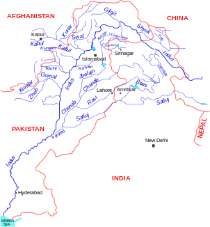
The Stod (also called Doda ) is a 90 km long river in Ladakh in northern India .
It flows through Zanskar in the Ladakh region. The source of the river is on the Drang Drung Glacier near Pensi La . The Stod flows through the Padum Valley in an easterly direction and unites not far from the village of Padum with the Lungnak to form the Zanskar River .

