Pensi La
| Pensi La | |||
|---|---|---|---|
|
|
|||
| Compass direction | west | east | |
| Pass height | 4400 m | ||
| District | Kargil ( Ladakh , India ) | ||
| Watershed | Suru | Stod ( doda ) | |
| Valley locations | Kargil | Padum | |
| expansion | Pass road | ||
| Mountains | Himalayas | ||
| Map (Ladakh) | |||
|
|
|||
| Coordinates | 33 ° 51 '52 " N , 76 ° 21' 30" E | ||
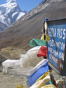
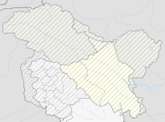
The Pensi La is located in the district of Kargil of the Union Territory of Ladakh in the northwest of India .
It separates the headwaters of the Suru in the west and the Stod ( Doda ) in the east. A 240 km long cul-de-sac leads over the 4400 m high pass from Kargil in the lower Suru valley to Padum , capital of Tehsil Zanskar , at the Zanskar source river Lungnak .
The pass road offers a view of the Drang-Drung glacier to the south , which feeds the Stod. The mountains Nun and Kun are to the west of Pensi La.
Web links
Commons : Pensi La - collection of pictures, videos and audio files

