Styggedals- and Skagastølsryggen
| Styggedals- and Skagastølsryggen | ||
|---|---|---|
|
Ridge seen from Fannaråki |
||
| Highest peak | Store Skagastølstind ( 2405 moh. ) | |
| location | Luster and Årdal municipalities in Norway | |
| Jotunheimen | Hurrungane | |
|
|
||
| Coordinates | 61 ° 27 ' N , 7 ° 50' E | |
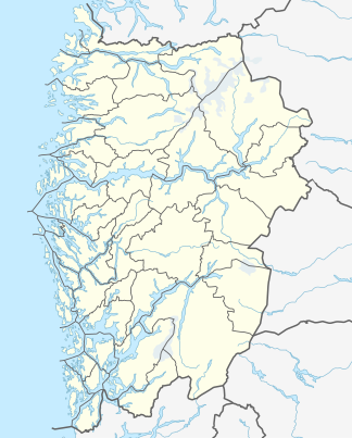
Styggedals- og Skagastølsryggen is a mountain range in Norway and is located in the Hurrungane area in the southwest of Jotunheimen . It is located in the municipality of Luster and borders the municipality of Årdal in the province of Vestland . The eastern part of the mountain range is the Styggedalstindane mountain range , also called Styggedalsryggen . In the western part there is the Skagastølstindane mountain range , also called Skagestølsryggen .
The mountains of Styggedals- og Skagastølsryggen from north to south and east:
- Nordre Skagastølstind ( 2167 moh. )
- Skagastølsnebbet ( 2222 moh. )
- Midtre Skagastølstind ( 2284 moh. )
- Vetle Skagastølstind ( 2340 moh. )
- Store Skagastølstind (Storen) ( 2405 moh. )
- Sentraltind (Vestre Styggedalstind) ( 2348 moh. )
- Store Styggedalstind , Vesttoppen ( 2383 moh. )
- Store Styggedalstind , Østtoppen ( 2387 moh. )
- Gjertvasstind (Østre Styggedalstind) ( 2351 moh. )
Styggedalstindane
The Styggedalstindane mountain range is located north of the Maradalsbreen glacier and south of the Sryggedalsbreen and Gjertvassbreen glaciers. The mountains Vestre Styggedalstind, Store Styggedalstind and Gjertvasstind belong to this mountain range.
Skagastølstindane
The Skagastølstindane mountain range includes the mountains Sentraltind, Vetle Skagastølstind, Midtre Skagastølstind, Nordre Skagastølstind and Store Skagastølstind. This mountain is the third highest mountain in Norway.
Individual evidence
- ↑ Styggedalstindane. In: store norske leksikon. Retrieved September 20, 2013 (Norwegian).
- ↑ Skagastølstindene. In: store norske leksikon. Retrieved September 20, 2013 (Norwegian).

