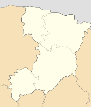
Swaryzewytschi
| Swaryzewytschi | ||
| Сварицевичі | ||

|
|
|
| Basic data | ||
|---|---|---|
| Oblast : | Rivne Oblast | |
| Rajon : | Dubrovitsia district | |
| Height : | 151 m | |
| Area : | 2.17 km² | |
| Residents : | 2,080 (2001) | |
| Population density : | 959 inhabitants per km² | |
| Postcodes : | 34120 | |
| Area code : | +380 3658 | |
| Geographic location : | 51 ° 42 ' N , 26 ° 16' E | |
| KOATUU : | 5621886901 | |
| Administrative structure : | 2 | |
| Address: | вул. Шевченка 37 34 120 с. Сварицевичі |
|
| Website : | City council website | |
| Statistical information | ||
|
|
||
Swaryzewytschi ( Ukrainian Сварицевичі ; Russian Сварицевичи Swarizewitschi , Polish Swarycewicze ) is a village in the north of the Ukrainian Rivne Oblast with about 2000 inhabitants (2001).
The village, first mentioned in writing in 1450, is the administrative center of the eponymous, 77.959 km² district council in the northwest of Dubrowyzja Rajon , to which the village of Selen ( Зелень , ⊙ ) with about 630 inhabitants belongs.
The village is located at an altitude of 151 m on the bank of the Stubla ( Стубла also Стубазка Stubaska ), an 86 km long left tributary of the Horyn , 30 km northwest of the Dubrovytsia district center and 145 km north of the Rivne Oblast center .
The regional road P-76 runs east of the village .
Web links
- Swarycewicze . In: Filip Sulimierski, Władysław Walewski (eds.): Słownik geograficzny Królestwa Polskiego i innych krajów słowiańskich . tape 11 : Sochaczew – Szlubowska Wola . Walewskiego, Warsaw 1890, p. 627 (Polish, edu.pl ).
- Website on the history of the village (Ukrainian)
Individual evidence
- ↑ Local website on the official website of the Verkhovna Rada ; accessed on August 13, 2019 (Ukrainian)
- ↑ history Swaryzewytschi in the history of the towns and villages of the Ukrainian SSR ; accessed on August 13, 2019 (Ukrainian)
- ^ Website of the district council on the official website of the Verkhovna Rada; accessed on August 13, 2019 (Ukrainian)

