Tiras Mountains
| Tiras Mountains | ||
|---|---|---|
|
Tiras Mountains with the dunes of the Namib-Naukluft National Park in the foreground |
||
| location | ǁKaras , Namibia | |
|
|
||
| Coordinates | 26 ° 8 ′ S , 16 ° 30 ′ E | |
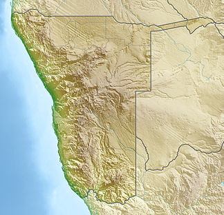
The Tiras Mountains are a mountain range and private nature reserve in southern Namibia , around 20 kilometers west of Helmeringhausen .
The Tiras Mountains are the intersection of four different landscapes: from the north and northeast, the Tiras mountains melt into the mountainous landscape of Rooirand ( red edge ) and the north subsequent Tsaris , from the west and southwest, the red dunes of the Neisibfläche and Homs Plateau make contact with the Namib Naukluft National Park and the foothills of the Namib Desert. To the southeast, the Tiras Mountains border on a savannah and succulent steppe , which also has ancient rock carvings of Bushmen ( San ). In the adjoining short shrub savannah, livestock , especially cattle, is farmed.
Important peaks of the Tirasberge are the Schanzenberg ( 1902 m ), Sattelberg ( 1419 m ), the Koiimasis Nase ( 1397 m ) and the Bergveld .
The 125,000 ha (125 km² ) private nature reserve has existed since March 1998 . It consists of eight (as of September 2018) farms used for tourism and extensive agriculture (Gunsbewys, Tiras, Koiimasis, Landsberg, Numis, Weissenborn, Korais, Excelsior).
gallery
Tiras Mountains can be seen from the D 826 between Sesriem and Duwisib Castle
Gunsbewys guest farm , with the Tiras Mountains in the background


