Tong La
| Tong La | |||
|---|---|---|---|
|
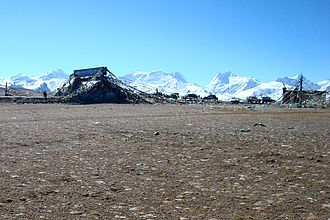
Lapche Himal southeast of Tong La |
|||
| Compass direction | North | south | |
| Pass height | 5153 m | ||
| Autonomous area | Tibet Autonomous Region ( PR China ) | ||
| Watershed | Mon Chhu → Bum Chu → Arun | Matsang Tsangpo → Sunkoshi | |
| Valley locations | Mento | Nashing | |
| expansion | Friendship Highway G 318 | ||
| Mountains | Jugal Himal / Lapche Himal ( Himalaya ) | ||
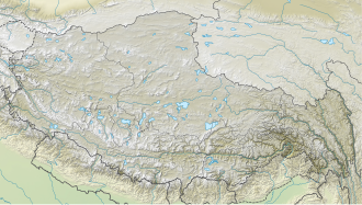
| map | |||
|
|
|||
| Coordinates | 28 ° 31 ′ 0 ″ N , 86 ° 10 ′ 3 ″ E | ||
The Tong La - also called Yakrushong La or Yarle Sung La - is a pass in Tibet.
It forms the watershed between the catchment areas of the Matsung Tsangpo , which continues to Nepal under the name Sunkoshi , and the Mon Chhu , which breaks through the Himalayas as Arun via the Bum Chu (alternative name Phung Chhu ) in Nepal .
At the same time, the Tong La separates the Jugal Himal - with the Shishapangma - from the Lapche Himal .
Not far to the north, the Friendship Highway , which is the main road connection between Nepal and the People's Republic of China , crosses the Lalung La .


