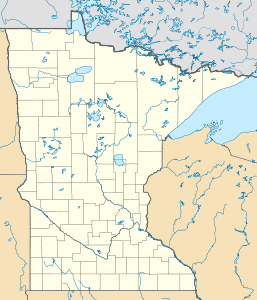
Traverse Gap
| Traverse Gap | ||
|---|---|---|
|
The Traverse Gap, seen from Lake Traverse (below) south to Big Stone Lake (above) |
||
| location | Minnesota , South Dakota (USA) | |
| Waters | Lake Traverse , Big Stone Lake | |
| Geographical location | 45 ° 35 '6 " N , 96 ° 49' 48" W | |
|
|
||
| height | 300 m | |
The Traverse Gap is a dry ice age riverbed in Minnesota .
It is on the border of the US states of Minnesota and South Dakota between Lake Traverse and Big Stone Lake . The watershed between the Atlantic and the Arctic Ocean runs across the Traverse Gap . A peculiarity is that through this gap in floods sometimes water from one catchment area could flow off to the other side. This is special because continental watersheds are usually clearly defined by altitude and only shift in geological time periods.

