Big Stone Lake
| Big Stone Lake | |||||||||
|---|---|---|---|---|---|---|---|---|---|
| Big Stone Lake from Ortonville (at the southern end of the lake) | |||||||||
|
|||||||||
|
|
|||||||||
| Coordinates | 45 ° 24 '28 " N , 96 ° 37' 4" W | ||||||||
| Data on the structure | |||||||||
| Data on the reservoir | |||||||||
| Altitude (at congestion destination ) | 294 m | ||||||||
| Water surface | 51 km² | ||||||||
| Reservoir length | 42 km | ||||||||
| Reservoir width | 1.5 km | ||||||||
| Maximum depth | 5 m | ||||||||
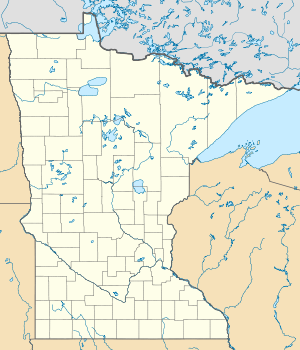
The Big Stone Lake is a long, narrow freshwater lake and reservoir , the border between the West of the US state of Minnesota and northeastern South Dakota forms. The lake covers an area of 51 km² and extends over a length of 42 km. The average width is just under 2 km. The lake is 294 m above sea level , making it the lowest point in South Dakota. Big Stone Lake is the source of the Minnesota River , a 534 km long tributary of the Mississippi River . The flow rate into the Minnesota River is regulated by a dam at the southern end of the lake. The main tributary is the Little Minnesota River at its northern end. The lake was formed during the last Ice Age when Lake Agassiz overflowed and created the glacial River Warren . The Big Stone Lake is located in the valley today.
Two state parks line the lake: Big Stone Lake State Park in Minnesota (with an information center) and Hartford Beach State Park in South Dakota. There are several hotels on the banks. Visitors appreciate the opportunities for fishing , particularly for glass eyebird , pike, and blue sun bass , but the lake contains over 30 other species. The parishes of Ortonville and Big Stone City are on the southern end of the lake, while Browns Valley , Minnesota is on the northern tip.
swell
- "Big Stone Lake" . Minnesota Department of Natural Resources. Retrieved May 19, 2007.
- "Big Stone Lake" . United States Department of Transportation . Retrieved May 19, 2007.
- Big Stone Lake Area Chamber of Commerce . Retrieved May 19, 2007.
- "Big Stone Lake Restoration Project" (PDF). Environmental Protection Agency . Retrieved on May 19, 2007. (255 kB)
- Spading, Kenton (January 2000). "Browns Valley Dike" (PDF; 2.3 MB). United States Army Corps of Engineers . Retrieved May 19, 2007.
Web links
Big Stone Lake in the Geographic Names Information System of the United States Geological Survey

