Chernecha Sloboda
| Chernecha Sloboda | ||
| Чернеча Слобода | ||

|
|
|
| Basic data | ||
|---|---|---|
| Oblast : | Sumy Oblast | |
| Rajon : | Buryn district | |
| Height : | 164 m | |
| Area : | Information is missing | |
| Residents : | 1,702 (2001) | |
| Postcodes : | 41740 | |
| Area code : | +380 5454 | |
| Geographic location : | 51 ° 4 ' N , 33 ° 37' E | |
| KOATUU : | 5920989101 | |
| Administrative structure : | 1 village | |
| Address: | вул. Перемоги буд. 5а 41740 с. Чернеча Слобода |
|
| Website : | City council website | |
| Statistical information | ||
|
|
||
Tschernscha Sloboda ( Ukrainian and Russian Чернеча Слобода ) is a village in the Ukrainian Sumy Oblast with about 1700 inhabitants (2001).
The village, founded in the 17th century, is the only place in the district of the same name in the west of Buryn district , to which the then abandoned village of Mohylchyne ( Могильчине , ⊙ ) belonged until December 2000 .
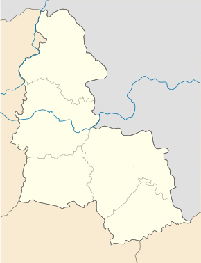
The village is located at an altitude of 164 m on a reservoir fed by a stream and on the banks of the Tern River , 25 km southwest of the Buryn district center and about 90 km west of the Sumy oblast center .
The regional road P-61 and the territorial road T-19-14 run through the village .
Sons and daughters of the village
- Mychajlo Rubatsch ( Михайло Абрамович Рубач ; 1899–1980) Soviet historian and archivist
Web links
- Entry on Tschernetscha Sloboda in Brockhaus-Efron (Russian)
Individual evidence
- ↑ Local website on the official website of the Verkhovna Rada ; accessed on November 5, 2019 (Ukrainian)
- ^ Local history Tschernetscha Sloboda in the history of the cities and villages of the Ukrainian SSR ; accessed on November 5, 2019 (Ukrainian)
- ^ Website of the district council on the official website of the Verkhovna Rada; accessed on November 5, 2019 (Ukrainian)
- ↑ Картка постанови

