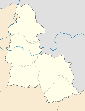
Tscherwona Sloboda (Buryn)
| Tscherwona Sloboda | ||
| Червона Слобода | ||

|
|
|
| Basic data | ||
|---|---|---|
| Oblast : | Sumy Oblast | |
| Rajon : | Buryn district | |
| Height : | 140 m | |
| Area : | Information is missing | |
| Residents : | 1,399 (2001) | |
| Postcodes : | 41709 | |
| Area code : | +380 5454 | |
| Geographic location : | 51 ° 14 ' N , 33 ° 53' E | |
| KOATUU : | 5920988401 | |
| Administrative structure : | 1 village | |
| Address: | вул. Першотравнева 1 41700 м. Буринь |
|
| Website : | Buryn Municipality website | |
| Statistical information | ||
|
|
||
Chervona Sloboda ( Ukrainian Червона Слобода ; Russian Червоная Слобода Chervonaya Sloboda ) is a village in the Ukrainian Sumy Oblast with about 1400 inhabitants (2001).
The village, founded in the 18th century, belongs administratively to the municipality of Buryn ( Буринської міської територіальної громади Burynskoji miskoji terytorialnoji hromady ) in Buryn Rajon .
The village is at an altitude of 140 m at the confluence of the 31 km long Tschascha ( Чаша ) in the Seim , 4.5 km northeast of the district center Buryn and 83 km northwest of the oblast center Sumy . The T – 19–10 runs through the village, which joins the regional road P – 44 after 2.5 in an easterly direction .
Web links
- Municipal Council website on rada.info (Ukrainian)
Individual evidence
- ↑ Local website on the official website of the Verkhovna Rada ; accessed on June 18, 2020 (Ukrainian)
- ^ Local history Tscherwona Sloboda in the history of the cities and villages of the Ukrainian SSR ; accessed on June 18, 2020 (Ukrainian)


