Umling La
| Umling La | |||
|---|---|---|---|
| Compass direction | northwest | Southeast | |
| Pass height | 5883 m | ||
| Leh district in Ladakh ( India ) | |||
| Watershed | Hanle → Indus | → Indus | |
| Valley locations | Chisumle | Demchok | |
| expansion | Pass road | ||
| Mountains | Himalayas | ||
| map | |||
|
|
|||
| Coordinates | 32 ° 41 ′ 47 " N , 79 ° 17 ′ 3" E | ||
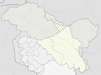
Umling La is a mountain pass in the Ladakh district in northwest India and is one of the highest navigable mountain passes on earth.
Location and history
The Umling La has a height of 5883 meters and is the highest passable pass in the world. The road was built by the Border Roads organization and opened in 2017. The road is closed to foreign tourists as it leads into the Aksai Chin region and into the controversial border area of the Line of Actual Control .
From Leh it goes along the Indus , via Upshi and Chumatang to Hanle , along the river of the same name Hanle. From Hanle it goes over the military point Ukdungle on mostly unpaved road to the pass. The road to Demchok is mostly closed by the military. Then there is no further advancement for domestic tourists either. From Hanle it is also possible to get to Umling La via Photi La , hardly less high at 5,524 m.
Individual evidence
- ↑ Umling La. dangerousroads.org, accessed January 19, 2020 .
