Lower Tännelbach
| Lower Tännelbach | ||
|
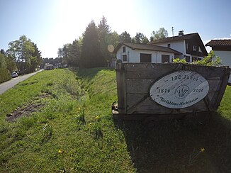
Lower Tännelbach in Nicklheim |
||
| Data | ||
| Water code | EN :? | |
| River system | Danube | |
| Drain over | Moosbach → Inn → Danube → Black Sea | |
| source |
Hochrunstfilze 47 ° 47 ′ 43 ″ N , 12 ° 3 ′ 6 ″ O |
|
| Source height | approx. 472 m | |
| muzzle | in Raubling from the left in the Moosbach Coordinates: 47 ° 47 '40 " N , 12 ° 7' 18" E 47 ° 47 '40 " N , 12 ° 7' 18" E |
|
| Mouth height | 451 m | |
| Height difference | approx. 21 m | |
| Bottom slope | approx. 3.4 ‰ | |
| length | approx. 6.2 km | |
The Untere Tännelbach is a year-round flowing water in the Bavarian Alpine Foreland .
It arises in the high moor of the Hochrunstfilze , runs eastwards through a district of Nickelheim, before it flows into the Moosbach from the left in Raubling not far from the Inn, which itself runs parallel to the Inn for a few kilometers before it flows into it.
The Obere Tännelbach runs a little south of the Untere Tännelbach, but it drains into the Inn via the Kirchbach .
Individual evidence
Web links
