
Washington State Route 113

|
|
|---|---|
| map | |

|
|
| Basic data | |
| Overall length: | 9.98 mi. / 16.06 km |
| Starting point: |
|
| End point: |
|
| County: | Clallam County |
Washington State Route 113 (SR 113, commonly Burnt Mountain Road) is a 16.06 km state route in Clallam County on the Olympic Peninsula in Washington . It leads from US Highway 101 in Sappho south to Washington State Route 112 southeast of Clallam Bay . Today's route formed the Secondary State Highway 9A from 1937 to 1955. Then SSH 9A was given the course along today's Washington State Route 112. The route became SR 113 in 1991, after the former SR 113 became Washington State Route 20 in 1975 . It was previously a branch of the Primary State Highway 9 (PSH 9) to Port Townsend and from 1937 to 1964 a branch of the Secondary State Highway 1D .
Route description
State Route 113 (SR 113) begins at an intersection with US Highway 101 (US 101) in the village of Sappho , east of Lake Pleasant and north of the Sol Duc River . From here the route heads northeast, crossing a railroad track three times and Beaver Creek twice before reaching Beaver Lake . From the lake, the road heads north to Washington State Route 112 , where it ends southeast of Clallam Bay . Not far from the intersection with US 101, an average of 950 vehicles a day ran on the SR 113 in 2007, which is a decrease compared to the estimate of 1500 vehicles per day in 1991.
Former route (1964–1973)
The original route of the SR 113, which was valid between 1964 and 1973, had a length of 16.29 miles (26.22 km). The route branched off from US 101 in Discovery Bay and led to what was then Washington State Route 525 (now SR 20 ) south of Coupeville . In 1973 this section was added to this highway when the SR 20 was extended westward from Fredonia to Discovery Bay. The route began on US 101 in Discovery Bay, southwest of Port Townsend in Jefferson County . From there the road followed the shoreline of Discovery Bay , past Jefferson County International Airport and the Airport Cutoff Road (now Washington State Route 19 ) into Port Townsend. Within the city, SR 113 was called Sims Way and Water Street, before taking the ferry from Port Townsend to Keystone in Island County . There the road ran through Fort Casey State Park and through Ebey's Landing National Historical Reserve before heading north and east to its end on SR 525 south of Coupeville. In 1970 the road on Old Fort Townsend Road near Port Townsend was used by about 3,150 vehicles on average per day, making this section the most traveled section of the earlier SR 113 at that time; In 2011, the busiest section of the State Route was the section at the intersection with Airport Cutoff Road (SR 19), where average traffic was estimated at 17,000 vehicles per day.
history
Discovery Bay – Coupeville route (1964–1973)
_topo.png)
From 1964 to 1973, SR 113 used a route from Discovery Bay Coupeville, which had its origin in 1937 as a branch of the Primary State Highway 9 (PSH 9 PT) to Port Townsend and as a branch of the Secondary State Highway 1D (SSH 1D), as the primary and Secondary Highways in Washington . In 1964, these two highways were merged as SR 113 in the state's new numbering system established by the Washington State Legislature and the Washington State Department of Transportation . When Washington State Route 20 was extended westward from Fredonia , SR 113 was abandoned.
The ferry from Port Townsend to Keystone was not part of the SR 20 until 1994, but then all connections of the Washington State Ferries were integrated into the federal trunk road network.
Sappho – Clallam Bay route (1991 – present)
The current route of the SR 113 was first maintained by the state in 1937, during the introduction of the primary and secondary road system as SSH 9A , which led from Sappho to Port Angeles . The Sappho – Clallam Bay segment was dropped in 1955 and SSH 9A was instead led west to Neah Bay . SSH 9A was assigned to SR 112 when the highway was renumbered in 1964 and SR 113 was assigned to a different route. In 1991 SR 113 received the current route from Sappho to Clallam Bay. No further changes have taken place since then.
supporting documents
- ↑ Mark Finch: State Highway Log - Planning Report 2010. (pdf; 4.4 MB) Washington State - Department of Transport, Strategic Planning Division, 2010, pp. 1216–1223 , accessed on October 22, 2012 (English).
- ↑ a b 2011 Annual Traffic Report. (pdf; 3.3 MB) Washington State - Department of Transportation, 2011, p. 136 , accessed on October 22, 2012 (English).
- ↑ 2092 Annual Traffic Report. (pdf; 10.6 MB) Washington State - Department of Transportation, 1992, p. 106 , accessed on October 22, 2012 (English).
- ↑ a b c C. G. Prahl: Identification of State Highways ( English , PDF; 681 kB) Washington State Highway Commission , Department of Highways . December 1, 1965. Retrieved June 20, 2009.
- ↑ a b c Washington State Legislature: RCW 47.17.080: State route No. 20 ( English ) 1964. Retrieved June 20, 2009.
- ↑ a b Gov. Daniel J. Evans: Annual Traffic Report 1970. (pdf; 11.7 MB) (No longer available online.) The Washington State Highway Commission - Department of Highways, 1970, p. 125 , archived from the original on October 17, 2013 ; accessed on October 22, 2012 (English).
- ↑ Whidbey Island Route ( English ) Washington State Ferries . 2009. Retrieved June 20, 2009.
- ↑ a b Washington State Legislature: Chapter 190: Establishment of Primary State Highways; Chapter 207: Classification of Public Highways . In: Session Laws of the State of Washington ( English ) (= Session Laws of the State of Washington), 1937 edition. Washington State Legislature, Olympia, Washington 1937, p. 938; 995; 1006 (Retrieved June 20, 2009): “ SEC. 9. A primary state highway to be known as Primary State Highway No. 9, or the Olympic Highway, is hereby established according to description as follows: Beginning at Olympia on Primary State Highway No. 1, thence in a westerly direction by the most feasible route by way of Elma, Montesano and Aberdeen to Hoquiam, thence in a northwesterly direction by the most feasible route by way of Lake Quinault to Forks, thence in an easterly direction by the most feasible route by way of Port Angeles to the vicinity of Discovery Bay, thence in a southerly direction by the most feasible route by way of Shelton to a junction with Primary State Highway No. 9, as described in, in the vicinity west of Olympia; also beginning at a junction with Primary State Highway No. 9, as described in, in the vicinity of Discovery Bay, thence in a northeasterly direction by the most feasible route to Port Townsend; also beginning at Elma on Primary State Highway No. 9, as described in, thence in a southeasterly direction by the most feasible route to a junction with Primary State Highway No. 1, in the vicinity of north of Centralia; also beginning at a junction with Primary State Highway No. 9, as described in, at Montesano, thence in a southwesterly direction by the most feasible route to a junction with Primary State Highway No. 13 north of Artic; (d) Secondary State Highway No. 1D; beginning at a junction with Primary State Highway No. 1 in the vicinity southeast of Anacortes, thence southerly by the most feasible route by way of Deception Pass to the vicinity of Columbia Beach in the southern portion of Whidby Island; (a) Secondary State Highway No. 9A; beginning at Port Angeles on Primary State Highway No. 9, thence in a westerly direction by the most feasible route by way of the Pysht river to a junction with Primary State Highway No. 9 in the vicinity of Sappho. "
- ↑ United States Geological Survey : Victoria, 1966 ( English ) University of Texas at Austin . 1966. Retrieved June 20, 2009.
- ↑ 1980 Annual Traffic Report. (pdf; 15.8 MB) (No longer available online.) Washington State - Department of Transportation, 1980, p. 71 , archived from the original on March 18, 2011 ; accessed on October 22, 2012 (English).
- ↑ United States Geological Survey: Seattle, 1965 ( English ) University of Texas at Austin. 1965. Retrieved June 20, 2009.
- ^ Washington State House of Representatives : Substitute House Bill 2618; Chapter 209, Laws of 1994 ( English ) Washington State Legislature. March 30, 1994. Retrieved June 20, 2009.
- ↑ Washington State Legislature: HB 2618 - 1993–94: Adding ferry water routes to the state highway system ( English ) March 30, 1994. Retrieved June 20, 2009.
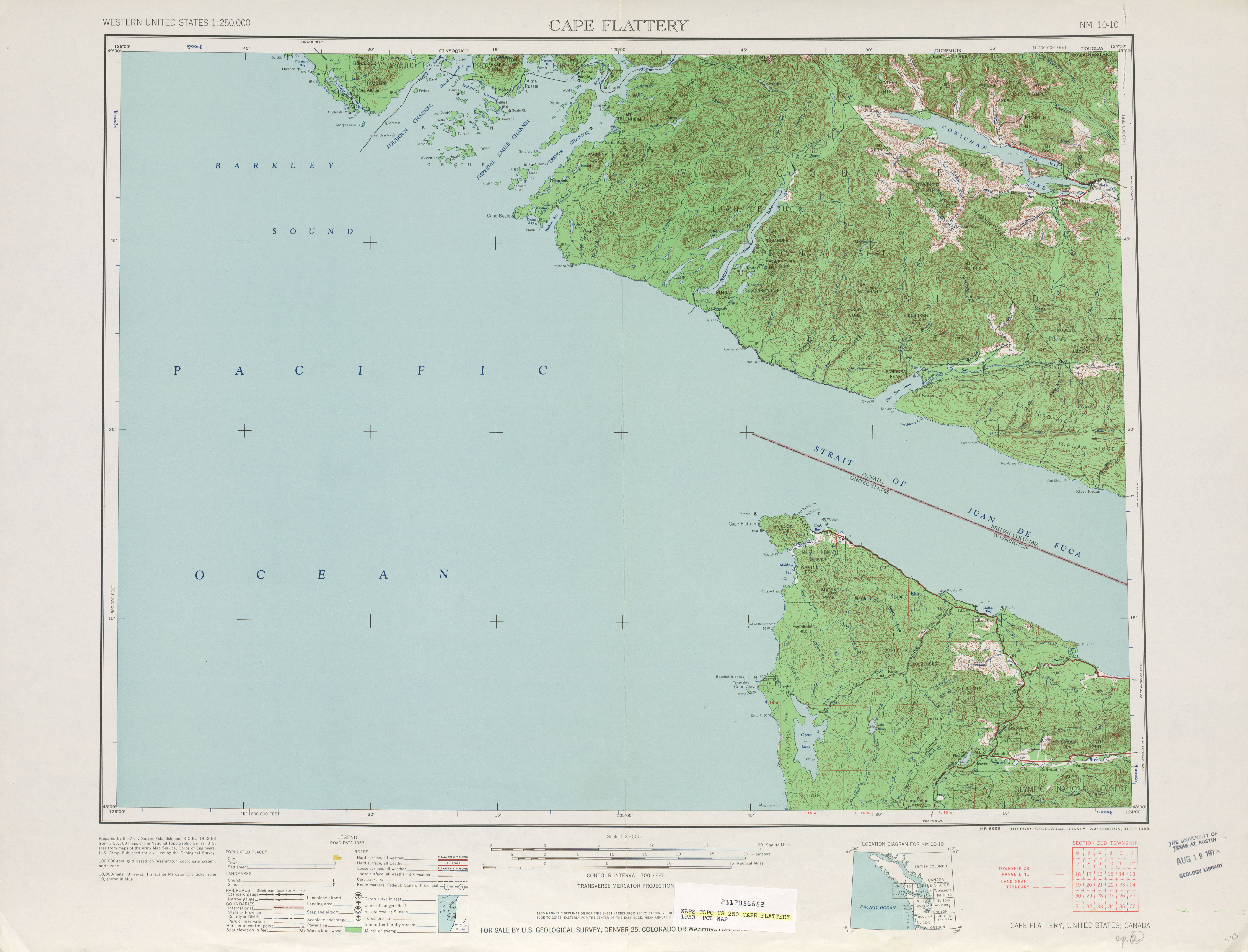
- ↑ United States Geological Survey: Cape Flattery, 1953 ( English ) University of Texas at Austin. 1953. Retrieved June 20, 2009.
- ↑ Washington State Legislature: Chapter 383 . In: Session Laws of the State of Washington (= Session Laws of the State of Washington), 1955 edition. Washington State Legislature, Olympia, Washington 1955 (Retrieved June 20, 2009).
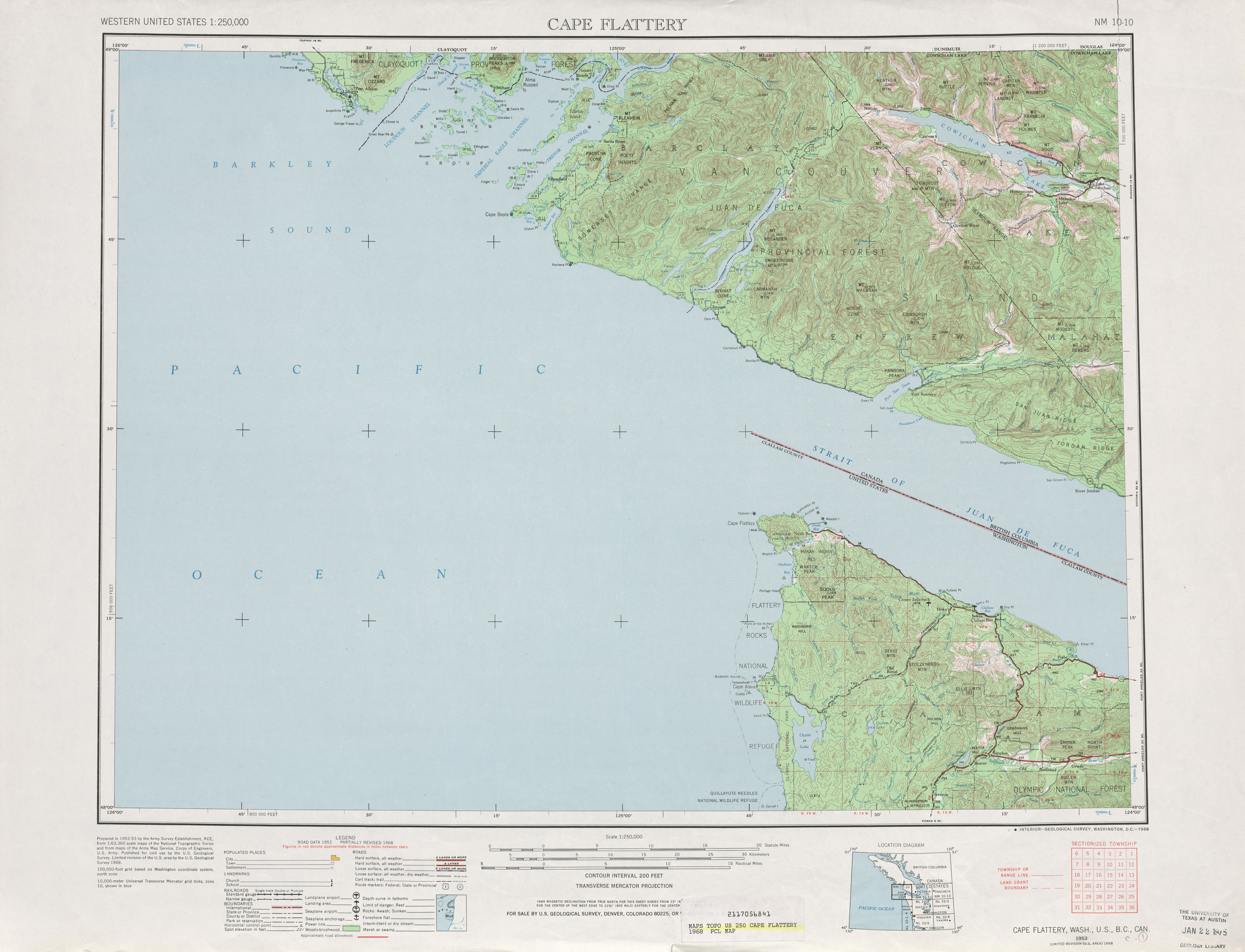
- ↑ United States Geological Survey: Cape Flattery, 1968 . University of Texas at Austin. 1968. Retrieved June 20, 2009.
- ↑ Washington House of Representatives : Chapter 342, Laws of 1991 State Highway Routes - Revisons To (House Bill 5801) ( English ) Washington State Legislature. 1991. Retrieved November 16, 2016: “ NEW SECTION. Sec. 7. A state highway to be known as state route number 113 is established as follows: Beginning at a junction with state route number 101 in the vicinity of Sappho, then northerly to a junction with state route number 112 in the vicinity of the Pysht River . "
- ↑ United States Geological Survey: Washington State Highways, 2008–2009 ( English , PDF; 3.7 MB) Washington State Department of Transportation. 2008. Retrieved June 20, 2009.
Web links
- Highways of Washington State (English)